Login

Zabudli ste prihlasovacia meno

Cookies have to be accepted!
Your browser's cookie functionality is disabled. Please enable this functionality.

Not a member yet?

Register now
Login

Available for registred users only

Log in to use this feature.

Zabudli ste prihlasovacia meno

Cookies have to be accepted!
Your browser's cookie functionality is disabled. Please enable this functionality.

Not a member yet?

Register now
Filter
Kategórie
Advanced filters
  • Dĺžka (km)
  • výškomer
Uložiť filter Reset filter

TrackRank

QRCode

Technical data

Dĺžka36,7 km výškomer411 m Way down411 m Doba03:00 h:m dátum25.03.2012
ohodnotenia Author Kraj pôžitok z túry kondícia technika

štatistika

797 náhľady ohodnotenia 22 Stiahnutia priemer
Rate
  • list trasy
  • príjazd
  • Stiahnutia

Habe die Tour aus dem Buch von Dieter Buck "Ausflugsziel Remstal" Tour 18.

Also Buch kaufen da sind alle netten Infos dazu.

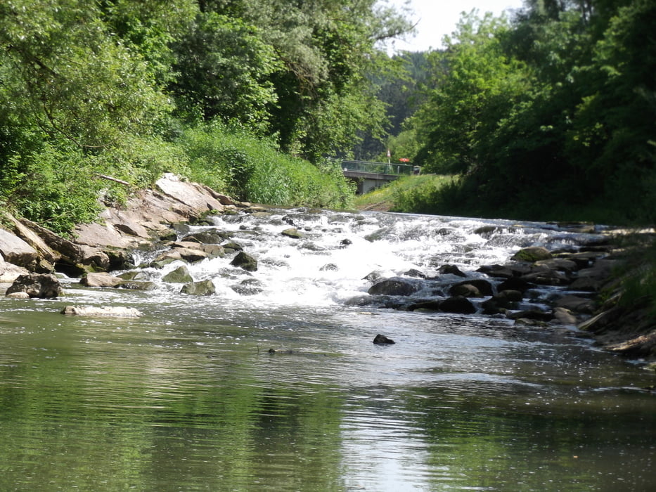
Nach dem Start in Waldhausen geht es erstmal hoch hinaus auf den Rattenharz.

Danach fährt man die mühsam aufgestiegenden Höhenmeter wieder ganz langsam runter, immer etwas abschüssig und gut asphaltiert und ausgeschildert.


Further information at

http://silberburg.de/shop/index.htm

galéria trás

Mapa trasy a výškový profil

  • Open Street Map
  • Google
Minimum height 271 m Maximum height 475 m Detailný pohľad

More about the tour author

icemann1987
Member since 2010

Send private message

komentáre

Ausgangspunkt ist Waldhausen!

GPS trasy

Trackpoints
  • GPX / Garmin Map Source (gpx) download
  • TCX / Garmin Training Center® (tcx) download
  • CRS / Garmin Training Center® (crs) download
  • Google Earth (kml) download
  • G7ToWin (g7t) download
  • TTQV (trk) download
  • Overlay (ovl) download
  • Fugawi (txt) download
  • Kompass (DAV) Track (tk) download
  • list trasy (pdf) download
  • Original file of the author (gpx) download

More about the tour author

icemann1987
Member since 2010

Send private message
Share track
Add to my favorites
Remove from my favorites
Edit tags
My score
Rate
trasa: Vom Remstal auf die Alb
Druh: trekingové bicykle
Dĺžka: 36,7 km
Evaluated on:
Doba:
Day(s)
Hour(s)
Minute(s)
ohodnotenie: Kraj pôžitok z túry kondícia technika