


Tour de SciTec 2012
Treffpunkt und Abfahrt waren am Tierbrunnen in Jena-Paradies. Von dort aus radelten wir auf dem Saaleradweg an Wöllnitz und Lobeda vorbei bis Maua.
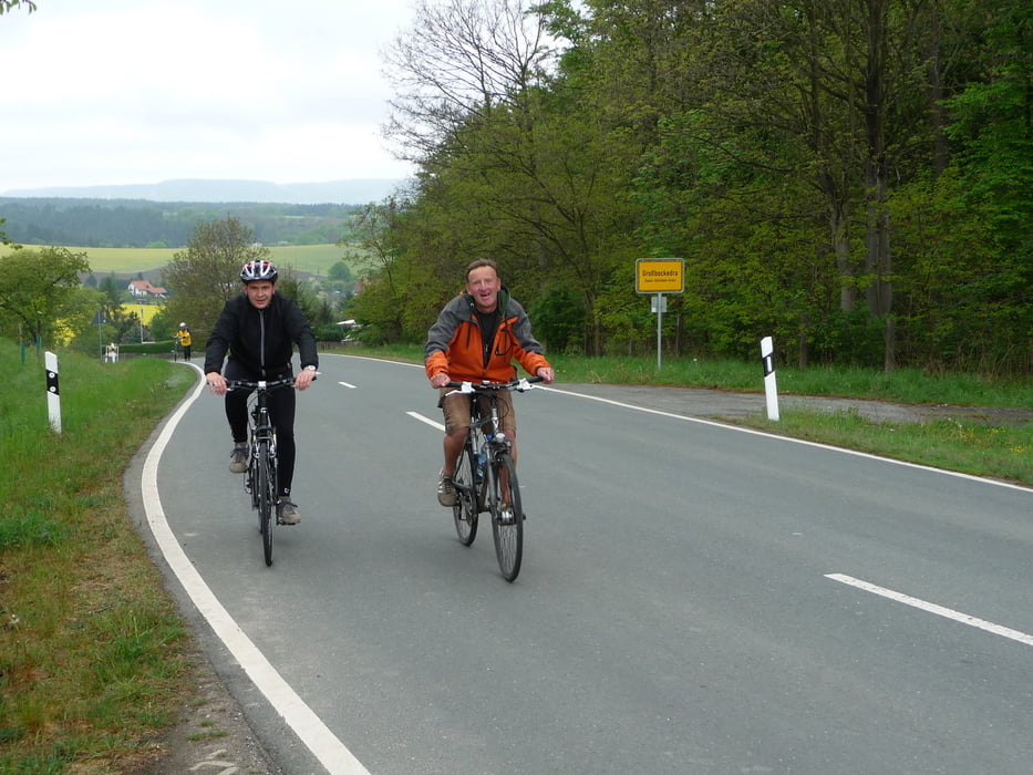
Ab hier ging es auf wenig befahrenen Nebenstraßen und Feldwege über Sulza - Großbockedra - Kleinbockedra bis zum Sonnenkreis Magersdorf.
In Magersdorf machten wir Rast im Landgasthof, der für seine hausgemachten Thüringer Klöße berühmt ist. Hier konnten wir die Köchin beim Zubereiten der Klöße zuschauen. Die sind wirklich aus Kartoffeln handgemacht, ohne Halbfabrikate aus der Industrie!
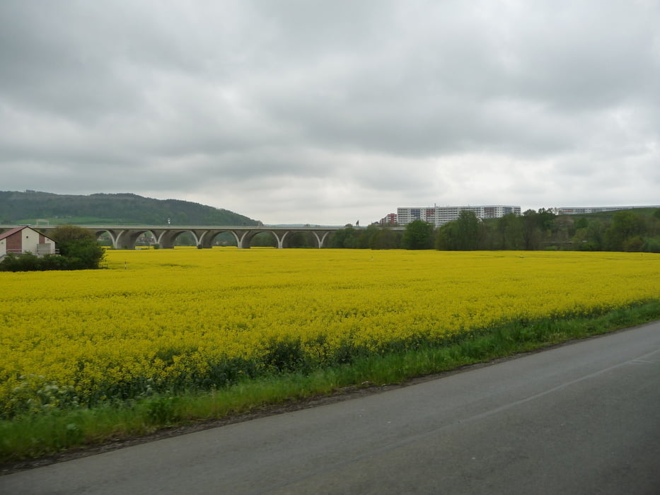
Die weitere Strecke wurde auf Grund der Witterungsverhältnisse abgekürzt, es ging von Magersdorf ins Scheibental, welches zwischen Jägersdorf und Rothenstein ins Saaletal mündet.
Auf dem Saaleradweg ging es dann durch Rothenstein, Maua und Lobeda zurück nach Jena-Paradies.
galéria trás


Mapa trasy a výškový profil
Minimum height 155 m
Maximum height 350 m
More about the tour author
|
|
aussie1248 |
komentáre

Treffpunkt Tierbrunnen im Paradies
Für Bahnfahrer: nächster Bahnhof Jena-Paradies ca. 300m
Start und Ziel liegen im Zentrum Jenas, wo Parkplätze selten und teuer sind. Wer günstig parken will, sollte das am Seidelparkplatz tun.Der Treffpunkt ist von dort aus bequem erreichbar.
Eingabe für's Navi:
07743 Jena, Seidelstraße 1
GPS trasy
Trackpoints-
GPX / Garmin Map Source (gpx) download
-
TCX / Garmin Training Center® (tcx) download
-
CRS / Garmin Training Center® (crs) download
-
Google Earth (kml) download
-
G7ToWin (g7t) download
-
TTQV (trk) download
-
Overlay (ovl) download
-
Fugawi (txt) download
-
Kompass (DAV) Track (tk) download
-
list trasy (pdf) download
-
Original file of the author (gpx) download
More about the tour author
|
|
aussie1248 |
Add to my favorites
Remove from my favorites
Edit tags
Open track
My score
Rate