


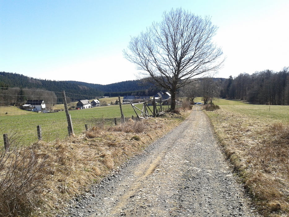
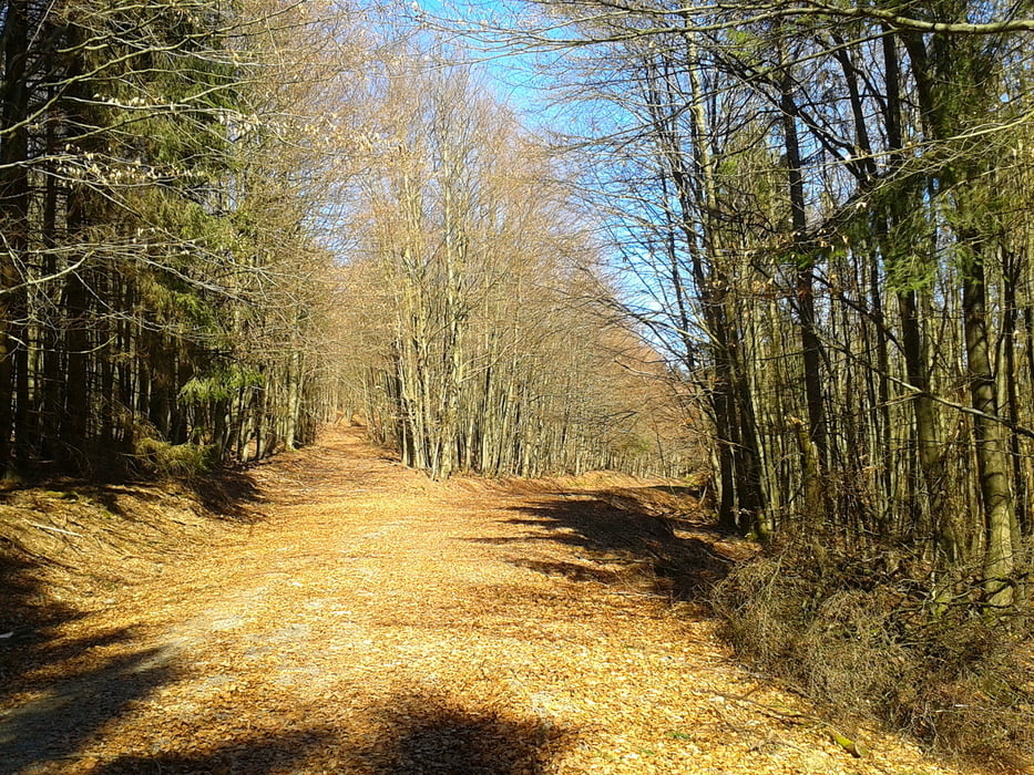
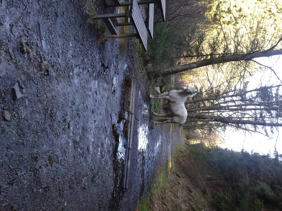
Vom Parkplatz an der Indel das kurze Stück der Teerstrasse folgen bis zur Ilsebrück. Jetzt über den Weg/Pfad an der Ilse entlang wandern bis zur Quelle. Hier findet man eines der schönsten Täler Wittgenstein. An der sagenumwogenen Insel ein Schluck geniesen und dem Rothaarsteig ein kleines Stück folgen. auf der Höhe am Wegweiser Richtung Sohl durch eine herrlichen Buchenwald bis Sohl. In dem kleinen Ort gibtes eine Ski-Hütte (direkt am Weg) diese lädt Sonntags v. 10 bis 17 Uhr zum verweilen ein (Selbstgemachter Kuchen o. ein schönes Bosch).
Ein kurzes Stück zurück und die erste Möglichkeit rechts abbiegen und über die Höhe oberhalb von Bernshausen ( böse Zungen behaupten es wurde im zweiten Weltkireg nicht entdeckt), Teilweise über die alte Köhlerstr. zurück bis zum Parkplatz Indel.
galéria trás
Mapa trasy a výškový profil
Minimum height 463 m
Maximum height 654 m
More about the tour author

|
eniliph |
komentáre

von Bad Laasphe bis nach Banfe, Ortmitte Richtung Feudingen, Parkplatz Indel nach ca. 1,5 km. von Dillenburg über Mandeln, Fischelbach bis Ortsmitte Banfe, links Richtung Feudingen, nach ca. 1,5 km kommt der Parkplatz Indel
GPS trasy
Trackpoints-
GPX / Garmin Map Source (gpx) download
-
TCX / Garmin Training Center® (tcx) download
-
CRS / Garmin Training Center® (crs) download
-
Google Earth (kml) download
-
G7ToWin (g7t) download
-
TTQV (trk) download
-
Overlay (ovl) download
-
Fugawi (txt) download
-
Kompass (DAV) Track (tk) download
-
list trasy (pdf) download
-
Original file of the author (gpx) download
More about the tour author
|
|
eniliph |
Add to my favorites
Remove from my favorites
Edit tags
Open track
My score
Rate