


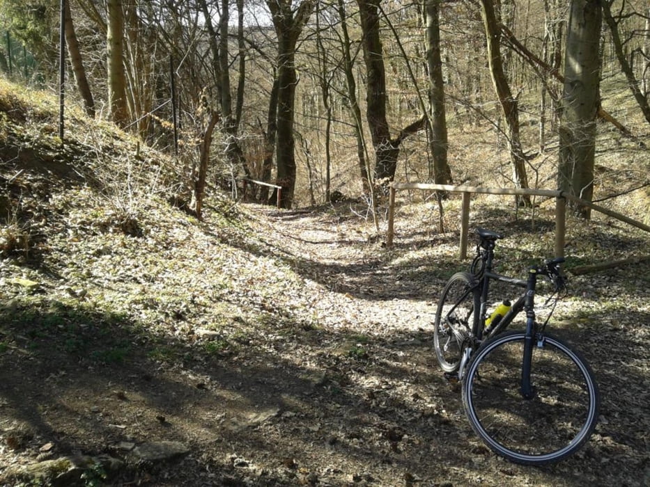
Die Route eignet sich hervorragend als Wiedereinstiegsrunde nach dem Winter. Die Tour kann auch mit Trekkingrädern befahren werden, besser jedoch mit Cross- oder Mountainbikes.
Der Weg führt zu ca. 60% auf Wald- und Schotterwegen. Teilweise sind schmale Pfade zu befahren, die bei vorherigem Regen recht rutschig sein können.
Die B303 Mainbrücke bei Weyer sollte rechts neben der Fahrbahn (zwischen Brückengeländer und Leitplanke) befahren werden.
!!! Achtung - hier gibt es einige Gefahrenstellen wegen enger Durchfahrten zwischen Leitplanke und Schilderbrücken !!!.
galéria trás


Mapa trasy a výškový profil
Minimum height 256 m
Maximum height 388 m
More about the tour author

|
Onkel_J |
komentáre

GPS trasy
Trackpoints-
GPX / Garmin Map Source (gpx) download
-
TCX / Garmin Training Center® (tcx) download
-
CRS / Garmin Training Center® (crs) download
-
Google Earth (kml) download
-
G7ToWin (g7t) download
-
TTQV (trk) download
-
Overlay (ovl) download
-
Fugawi (txt) download
-
Kompass (DAV) Track (tk) download
-
list trasy (pdf) download
-
Original file of the author (gpx) download
More about the tour author
|
|
Onkel_J |
Add to my favorites
Remove from my favorites
Edit tags
Open track
My score
Rate