Login

Zabudli ste prihlasovacia meno

Cookies have to be accepted!
Your browser's cookie functionality is disabled. Please enable this functionality.

Not a member yet?

Register now
Login

Available for registred users only

Log in to use this feature.

Zabudli ste prihlasovacia meno

Cookies have to be accepted!
Your browser's cookie functionality is disabled. Please enable this functionality.

Not a member yet?

Register now
Filter
Kategórie
Advanced filters
  • Dĺžka (km)
  • výškomer
Uložiť filter Reset filter

TrackRank

QRCode

Technical data

Dĺžka31,0 km výškomer650 m Way down662 m Doba02:30 h:m dátum12.04.2012
ohodnotenia Author Kraj pôžitok z túry kondícia technika

štatistika

258 náhľady ohodnotenia 37 Stiahnutia priemer
Rate
  • list trasy
  • príjazd
  • Stiahnutia
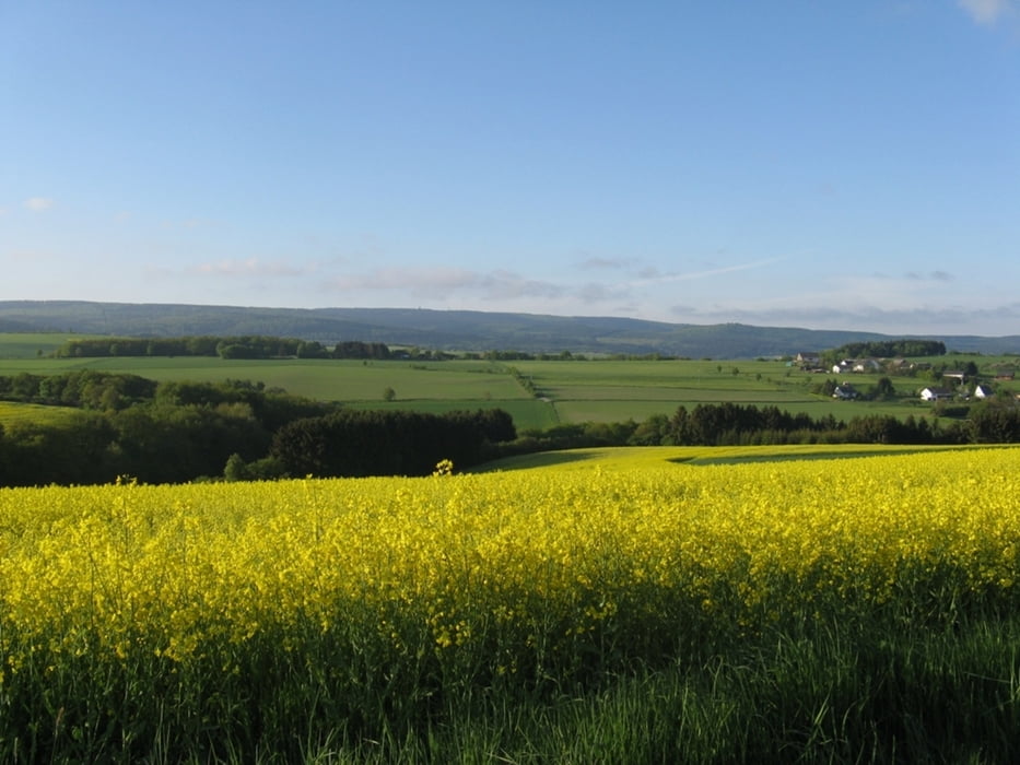
Eine Gemütliche Runde, die in Weiperath beginnt. Sie führt überwiegend über Forstwege. Drei kürzere aber einfache Trails werden auch befahren. Die Route führt zur "hängenden Birke", dann zu "OK Hütte" über den "0-Weg" durch den Ortelsbruch wieder zurück. Zwischendurch hat man immer wieder schöne landschaftliche Ausblicke.

galéria trás

Mapa trasy a výškový profil

  • Open Street Map
  • Google
Minimum height 139 m Maximum height 708 m Detailný pohľad

More about the tour author

AnnaS
Member since 2012

Send private message

komentáre

Über die B327 bis nach Morbach zur Esso Tankstelle, dann auf die K 99 bis nach Weiperath.

GPS trasy

Trackpoints
  • GPX / Garmin Map Source (gpx) download
  • TCX / Garmin Training Center® (tcx) download
  • CRS / Garmin Training Center® (crs) download
  • Google Earth (kml) download
  • G7ToWin (g7t) download
  • TTQV (trk) download
  • Overlay (ovl) download
  • Fugawi (txt) download
  • Kompass (DAV) Track (tk) download
  • list trasy (pdf) download
  • Original file of the author (gpx) download

More about the tour author

AnnaS
Member since 2012

Send private message
Share track
Add to my favorites
Remove from my favorites
Edit tags
My score
Rate
trasa: Runde am Erbeskopf
Druh: horský bicykel
Dĺžka: 31,0 km
Evaluated on:
Doba:
Day(s)
Hour(s)
Minute(s)
ohodnotenie: Kraj pôžitok z túry kondícia technika