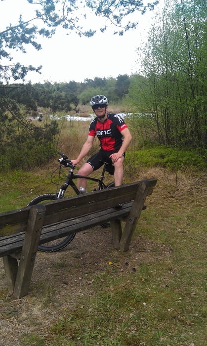
Tour startet in Vreden von da gehts richtung Holland an der Grenze entlang.
Druch den Wald richtung Südlohn.Dann geht es immer mal wieder im Wechsel mit Straßen und Wald
Richtung Stadtlohn.Da halten wir uns im Waldgebiet
auf .Nach einer Pause gehts wieder nach Vreden.ca.50km ist die Route (Track)
Mapa trasy a výškový profil
Minimum height 34 m
Maximum height 54 m
komentáre

GPS trasy
Trackpoints-
GPX / Garmin Map Source (gpx) download
-
TCX / Garmin Training Center® (tcx) download
-
CRS / Garmin Training Center® (crs) download
-
Google Earth (kml) download
-
G7ToWin (g7t) download
-
TTQV (trk) download
-
Overlay (ovl) download
-
Fugawi (txt) download
-
Kompass (DAV) Track (tk) download
-
list trasy (pdf) download
-
Original file of the author (gpx) download
Add to my favorites
Remove from my favorites
Edit tags
Open track
My score
Rate

