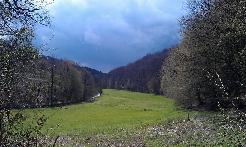
Diese Runde startet auf dem Parkplatz in Solingen - Glüdern, führt an der Sengbachtalsperre vorbei in Richtung Hilgen. Von dort aus ins Eifgenbachtal (sehr schöne Lanschaft), über kleine Wanderwege und Trails nach Tente. Da das Wetter nicht sehr gut war, führen wir über die Hauptstraße richtung Hilgen zurück, den rest noch um die Sengbachtalsperre und wieder zurück zu Parkplatz.
galéria trás
Mapa trasy a výškový profil
Minimum height 89 m
Maximum height 296 m
komentáre

GPS trasy
Trackpoints-
GPX / Garmin Map Source (gpx) download
-
TCX / Garmin Training Center® (tcx) download
-
CRS / Garmin Training Center® (crs) download
-
Google Earth (kml) download
-
G7ToWin (g7t) download
-
TTQV (trk) download
-
Overlay (ovl) download
-
Fugawi (txt) download
-
Kompass (DAV) Track (tk) download
-
list trasy (pdf) download
-
Original file of the author (gpx) download
Add to my favorites
Remove from my favorites
Edit tags
Open track
My score
Rate


