

...da ich mich in der Gegend kaum auskenne, bin ich den Wanderrouten gefolgt....d.h. ich musste über viele Wurzeln und Steine, kurze Streckenabschnitte waren nicht befahrbar und es lag sogar noch Schnee der mich teilweise behinderte.
Wer es "ruppig" und anspruchsvoll mag, für den ist die Strecke genau richtig (beim ausgeliehen MTB handelte es sich um ein Hardtail...seit dem weiß ich mein Fully zu schätzen ;-))
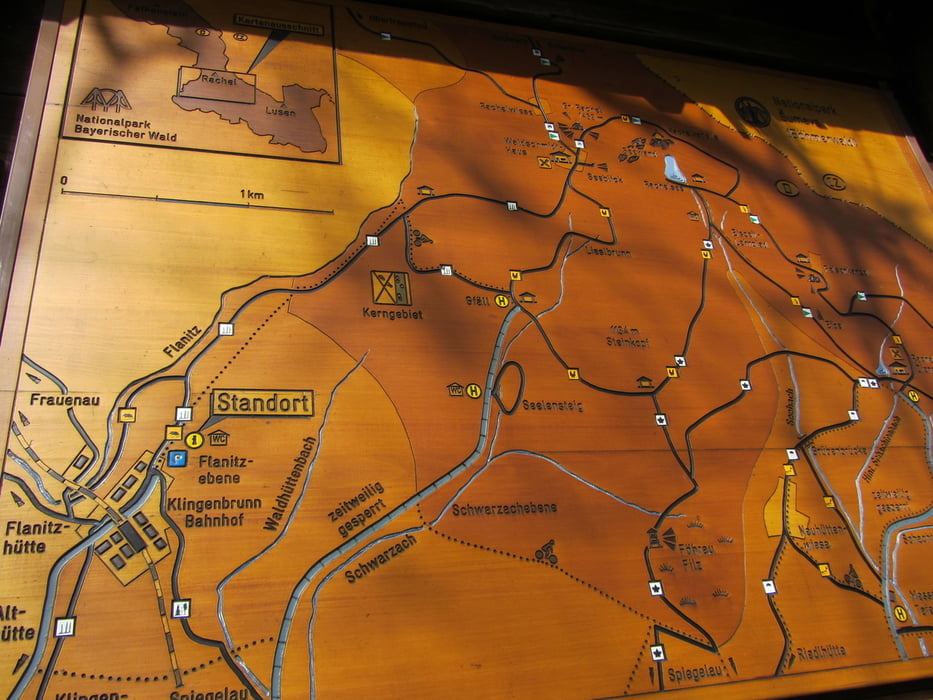
Ich habe mir hinterher sagen lassen, dass zum Biken der Schotterweg besser geeignet wäre, man bleibt also ab Kingenbrunn-Bahnhof auf dem Schotterweg. Wenn man oben angekommen ist beim "Gfällparkplatz", bleibt man auch hier weiterhin auf der Schotterpiste, also einfach geradeaus (ich bin kurz drauf rechts abgebogen, danach wurds echt krass), hier gehts dann wohl auch irgendwie nach Spiegelau....
Viel Spass beim "Nachfahren" oder auch Wandern....
PS:
Wir waren im tollen Hotel Hochriegel in Klingenbrunn "untergebracht" dort kann man sich auch Bike und Helm ausleihen
http://www.hotel-hochriegel.de/
Further information at
http://www.gemeinde-spiegelau.de/Spiegelau_Klingenbrunn_Okb/spiegelau_klingenbrunn_okb.htmlgaléria trás

Mapa trasy a výškový profil
Minimum height 698 m
Maximum height 967 m
More about the tour author
|
|
Harti_68 |
komentáre

GPS trasy
Trackpoints-
GPX / Garmin Map Source (gpx) download
-
TCX / Garmin Training Center® (tcx) download
-
CRS / Garmin Training Center® (crs) download
-
Google Earth (kml) download
-
G7ToWin (g7t) download
-
TTQV (trk) download
-
Overlay (ovl) download
-
Fugawi (txt) download
-
Kompass (DAV) Track (tk) download
-
list trasy (pdf) download
-
Original file of the author (gpx) download
More about the tour author
|
|
Harti_68 |
Add to my favorites
Remove from my favorites
Edit tags
Open track
My score
Rate