Hallo
Diese Route ist Top!
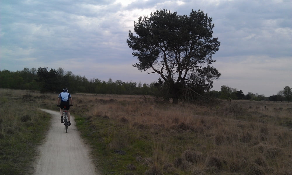
Sie startet in Vreden und wir fahren dann Richtung Dömern (Wald).
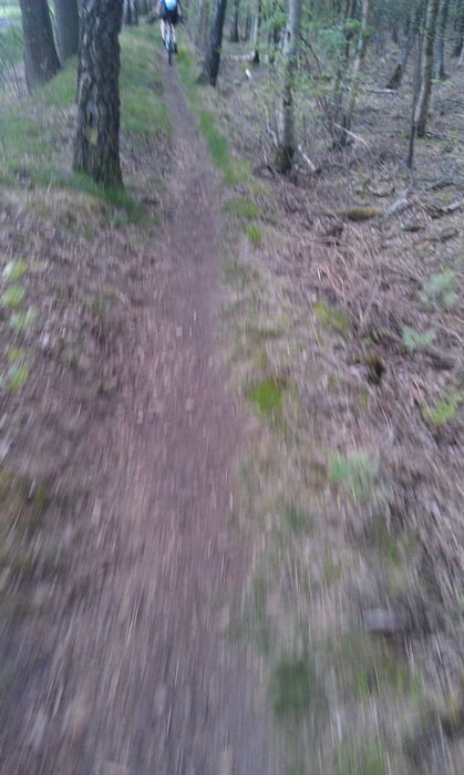
Dort sind einige Trails die man fahren kann.
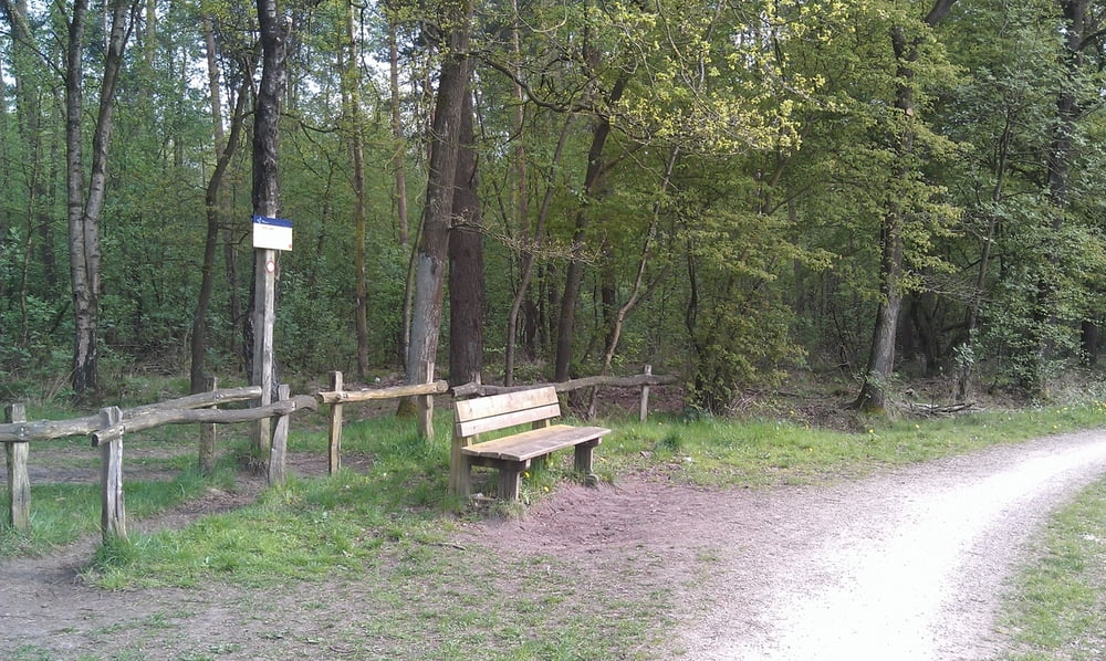
Von dort geht es ein wenig über Straße nach Lünten (Fischteiche).Dann Richtung Grenze.Gelegenheit zu einer Pause bei Harmühle sollte man machen.Dann gehts auf die Mtb Strecke Richtung Wittevenn dort begegnet man einige Tiere.
Dann gehts Richtung Haaksbergener Venn über Wennewick Ellewick nach Vreden zurück.
Viel Spaß
galéria trás
Mapa trasy a výškový profil
Minimum height 28 m
Maximum height 59 m
komentáre

GPS trasy
Trackpoints-
GPX / Garmin Map Source (gpx) download
-
TCX / Garmin Training Center® (tcx) download
-
CRS / Garmin Training Center® (crs) download
-
Google Earth (kml) download
-
G7ToWin (g7t) download
-
TTQV (trk) download
-
Overlay (ovl) download
-
Fugawi (txt) download
-
Kompass (DAV) Track (tk) download
-
list trasy (pdf) download
-
Original file of the author (gpx) download
Add to my favorites
Remove from my favorites
Edit tags
Open track
My score
Rate


