


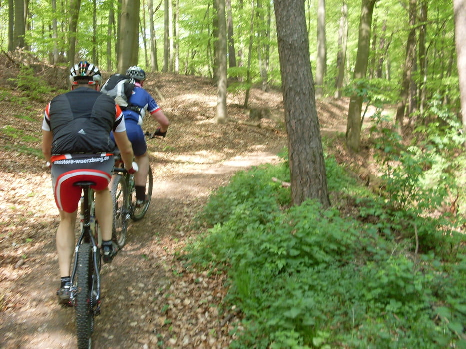
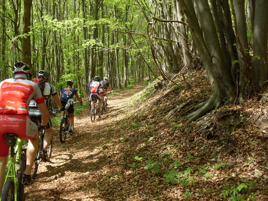
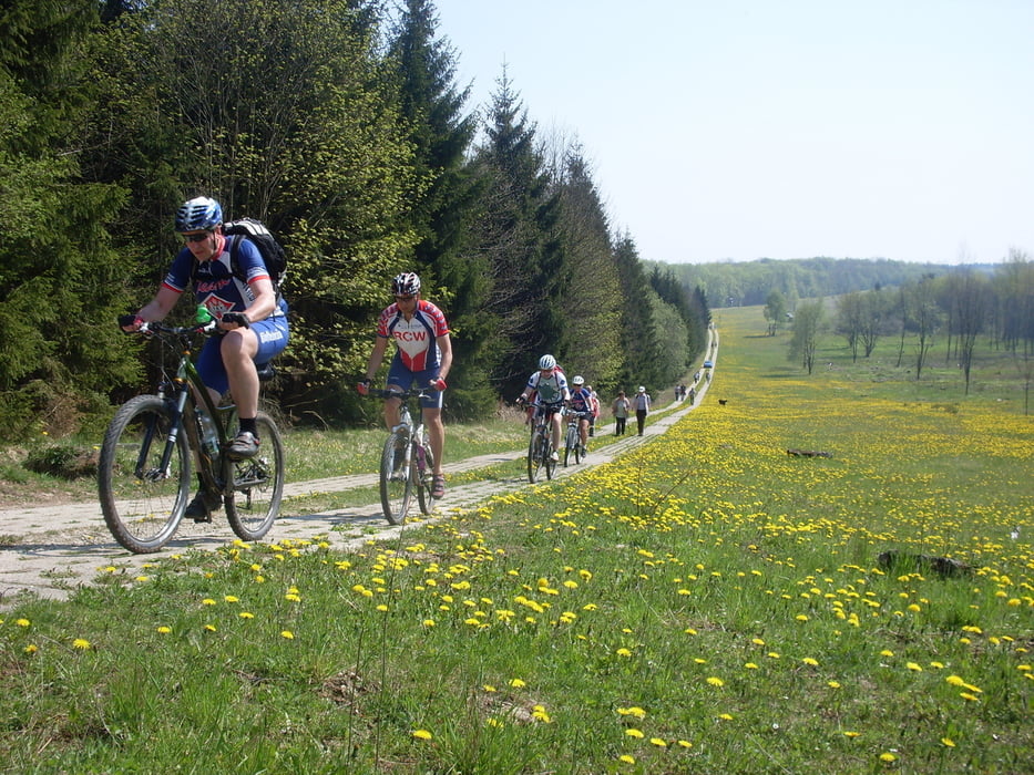
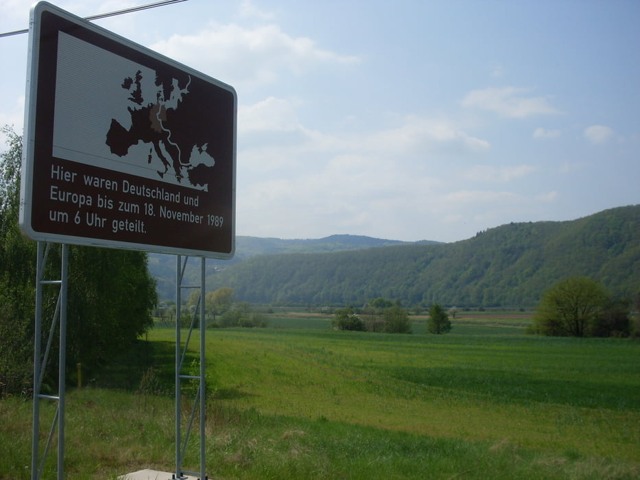
Von Bad Sooden-Allendorf geht es erst einmal per Radweg nach Eschwege, mit einen kleinen Abstecher zu Velo Mangold. Von Eschwege aus gehts dann weiter und nach wenigen Kilometern gehts auf Waldwegen weiter. Auch ein paar Höhenmeter warten nun auf euch. Die Strecke füht ab nun über Wald- und Wanderwege und führt an mehreren POI´s vorbei, wo man auch die ein oder andere schöne Aussicht über das Meißner Vorland genießen kann. Irgendwann kommt man auf der Ruine Altenstein raus. Von hier an gehts nun bergab in Richtung Asbach, wo auch die ein oder andere Möglichkeit besteht zum einkehren. Weiter über den Sickenberg, kommt man nun am Grenzmuseum vorbei. Auch hier sollte man mal stoppen und sich die alte Grenzanlage anschauen. Über den alten Grenzweg fahren wir nun durch Bad Sooden-Allendorf auf die Wilhelmshöhe wo man mit einem guten Ausblick das verdiente alkoholfreie sich gönnen kann.
Insgesamt eine richtig schöne MTB-Tour die für alle Leistungstände geeignet ist und die alles bietet.
Viel Spaß.
Further information at
http://www.bikefuehrer-werra-meissner.de/galéria trás
Mapa trasy a výškový profil
Minimum height 144 m
Maximum height 536 m
More about the tour author
|
|
kolze |
komentáre

http://maps.google.de/maps?q=Bad+Sooden-Allendorf&hl=de&ll=51.270293,9.973526&spn=0.144989,0.41851&sll=51.271559,9.941958&sspn=0.144985,0.41851&oq=bad+&t=h&hnear=Bad+Sooden-Allendorf,+Kassel&z=12
GPS trasy
Trackpoints-
GPX / Garmin Map Source (gpx) download
-
TCX / Garmin Training Center® (tcx) download
-
CRS / Garmin Training Center® (crs) download
-
Google Earth (kml) download
-
G7ToWin (g7t) download
-
TTQV (trk) download
-
Overlay (ovl) download
-
Fugawi (txt) download
-
Kompass (DAV) Track (tk) download
-
list trasy (pdf) download
-
Original file of the author (gpx) download
More about the tour author
|
|
kolze |
Add to my favorites
Remove from my favorites
Edit tags
Open track
My score
Rate