
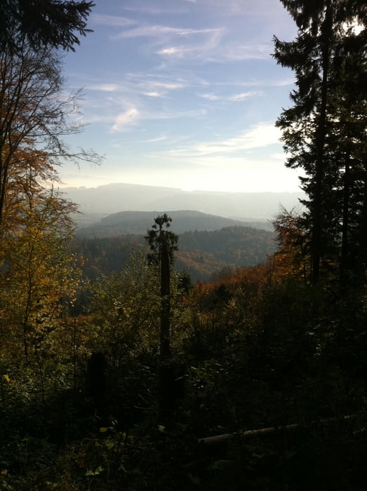

Abwechsungsreicher Track rund um das Lägerngebiet mit dem Restaurant Hochwacht (Montag geschlossen) als Zwischenziel. Von dort geht ein Singletrail zurück auf die Furtal Seite. Bei der Hälfte der Route oberhalb Wettingen ist das Restaurant Schartenfels (Dienstag geschlossen) das ebenfalls eine wunderschöne Aussicht zu bieten hat. Danach geht es die Treppe runter bis der lange Anstieg zurück nach Regensberg folgt. Von dort folgt man der (Pass-) Strasse nach Boppelsen und gelangt zurück zum Ausgangspunkt.
galéria trás


Mapa trasy a výškový profil
Minimum height 466 m
Maximum height 860 m
More about the tour author
|
|
TORROROSSO |
komentáre

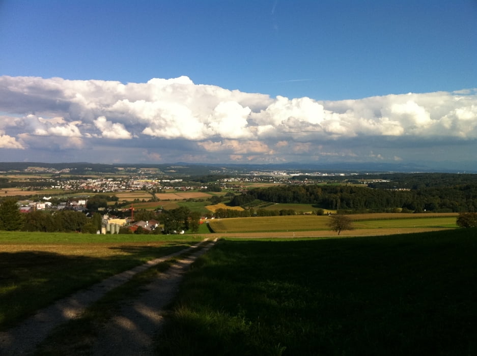
Von Otelfingen nach Boppelsen hinauf Richtung Regensberg.
GPS trasy
Trackpoints-
GPX / Garmin Map Source (gpx) download
-
TCX / Garmin Training Center® (tcx) download
-
CRS / Garmin Training Center® (crs) download
-
Google Earth (kml) download
-
G7ToWin (g7t) download
-
TTQV (trk) download
-
Overlay (ovl) download
-
Fugawi (txt) download
-
Kompass (DAV) Track (tk) download
-
list trasy (pdf) download
-
Original file of the author (gpx) download
More about the tour author
|
|
TORROROSSO |
Add to my favorites
Remove from my favorites
Edit tags
Open track
My score
Rate