Login

Zabudli ste prihlasovacia meno

Cookies have to be accepted!
Your browser's cookie functionality is disabled. Please enable this functionality.

Not a member yet?

Register now
Login

Available for registred users only

Log in to use this feature.

Zabudli ste prihlasovacia meno

Cookies have to be accepted!
Your browser's cookie functionality is disabled. Please enable this functionality.

Not a member yet?

Register now
Filter
Kategórie
Advanced filters
  • Dĺžka (km)
  • výškomer
Uložiť filter Reset filter

TrackRank

QRCode

Technical data

Dĺžka3,6 km výškomer128 m Way down113 m Doba00:30 h:m dátum21.11.2004
ohodnotenia Author Kraj pôžitok z túry kondícia technika

štatistika

959 náhľady ohodnotenia 135 Stiahnutia priemer
Rate
  • list trasy
  • príjazd
  • Stiahnutia
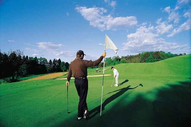
Beim Golfzentrum/Parklatz geht’s los. Die Strecke bietet vielfach einen Blick auf die Spielbahnen des Start & Play Kurses, verschwindet dann in den Wald Richtung Neudauberg Ort, um dann durch Obstgärten hindurch zuführen. Der Streckenverlauf ist sanft coupiert und auch für einen schönen Ausblick entlang der Strecke ist garantiert.

Further information at

http://www.stegersbach.at

galéria trás

Mapa trasy a výškový profil

  • Open Street Map
  • Google
Minimum height 300 m Maximum height 372 m Detailný pohľad

More about the tour author

stegersbach
Member since 2004

Send private message

komentáre

stegersbach on 21.11.2004

"Laufende Golfer"

Sollte es sich der eine oder andere Hotelgast, sowie auch Golfer überlegen, die Badeschlapfen oder die Golfschuhe gegen die Laufschuhe einzutauschen, diese Strecke wird ihn sicherlich nicht enttäuschen. Sie bietet sich geradezu an nachmittags oder auch vormittags die 4 km runterzuspulen und dabei Energie zu tanken.Laufen Sie durch Obstgärten, an Golplätzen vorbei und genießen Sie das Spiel der Golfer aus ungefährlicher Entfernung einmal anders.
Von Wien kommend Autobahnabfahrt A2 Lafnitztal/Oberwart, sowie von Graz kommend Abfahrt A2 Ilz/Fürstenfeld.

GPS trasy

Trackpoints
  • GPX / Garmin Map Source (gpx) download
  • TCX / Garmin Training Center® (tcx) download
  • CRS / Garmin Training Center® (crs) download
  • Google Earth (kml) download
  • G7ToWin (g7t) download
  • TTQV (trk) download
  • Overlay (ovl) download
  • Fugawi (txt) download
  • Kompass (DAV) Track (tk) download
  • list trasy (pdf) download
  • Original file of the author (g7t) download

More about the tour author

stegersbach
Member since 2004

Send private message
Share track
Add to my favorites
Remove from my favorites
Edit tags
My score
Rate
trasa: Start & Run
Druh: beh
Dĺžka: 3,6 km
Evaluated on:
Doba:
Day(s)
Hour(s)
Minute(s)
ohodnotenie: Kraj pôžitok z túry kondícia technika