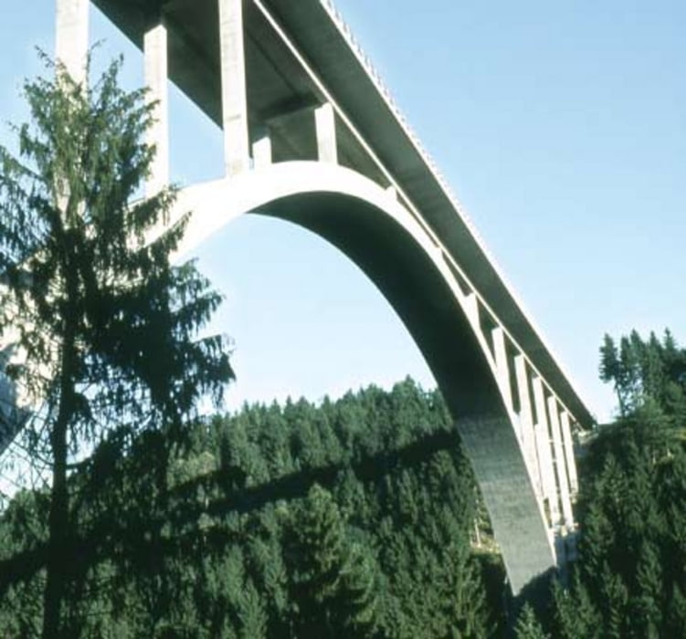
Über Rottenegg und die alte Bundesstrasse nach Gerling.
Weiter nach St. Martin, über Grub, Falkenberg und Plöcking nach Kleinzell.
Von Kleinzell zur alten Bundesstrasse 127 und hinunter zur Großen Mühl.
Ab hier geht es auf Wald und Wiesenweg hinunter zur Donau.
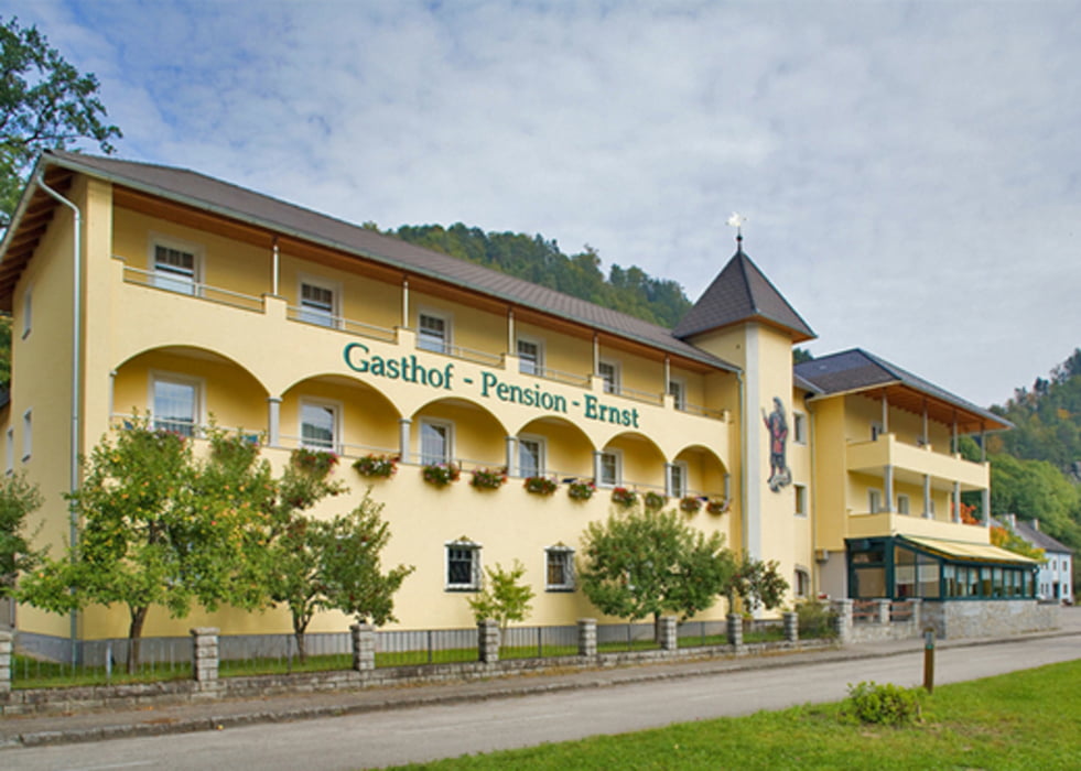
Einkehr beim GH Ernst. ( Gute heiße Suppe)
Mit der Fähre fahren wir um die Felsen um wieder am Land angekommen entlang der Donau und des Donauweges heim zugrooven.
galéria trás
Mapa trasy a výškový profil
Minimum height 262 m
Maximum height 585 m
komentáre

GPS trasy
Trackpoints-
GPX / Garmin Map Source (gpx) download
-
TCX / Garmin Training Center® (tcx) download
-
CRS / Garmin Training Center® (crs) download
-
Google Earth (kml) download
-
G7ToWin (g7t) download
-
TTQV (trk) download
-
Overlay (ovl) download
-
Fugawi (txt) download
-
Kompass (DAV) Track (tk) download
-
list trasy (pdf) download
-
Original file of the author (gpx) download
Add to my favorites
Remove from my favorites
Edit tags
Open track
My score
Rate


