

Nevada State Park, lots of information can be found on the internet.
The visit to the Nevada State Park was done in 3 parts: hiking near the Highway, White Domes Road, Hiking North of East Entrance.
The visit to the Nevada State Park was done in 3 parts: hiking near the Highway, White Domes Road, Hiking North of East Entrance.
Galería de rutas


Mapa de la ruta y perfil de altitud
Minimum height 516 m
Maximum height 912 m
More about the tour author

|
willydn |
Comentarios

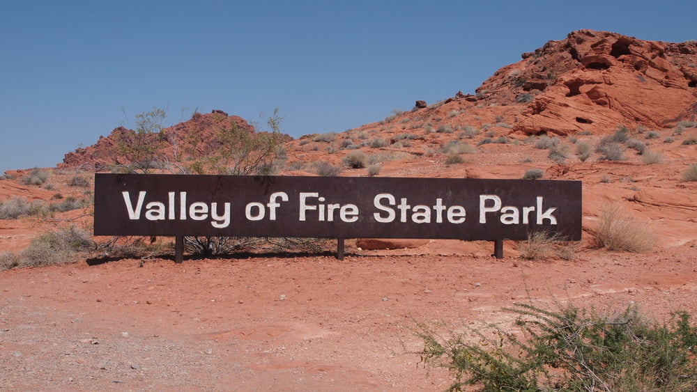
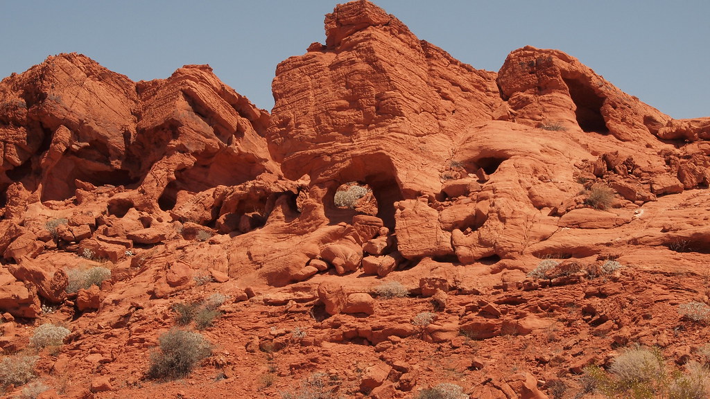
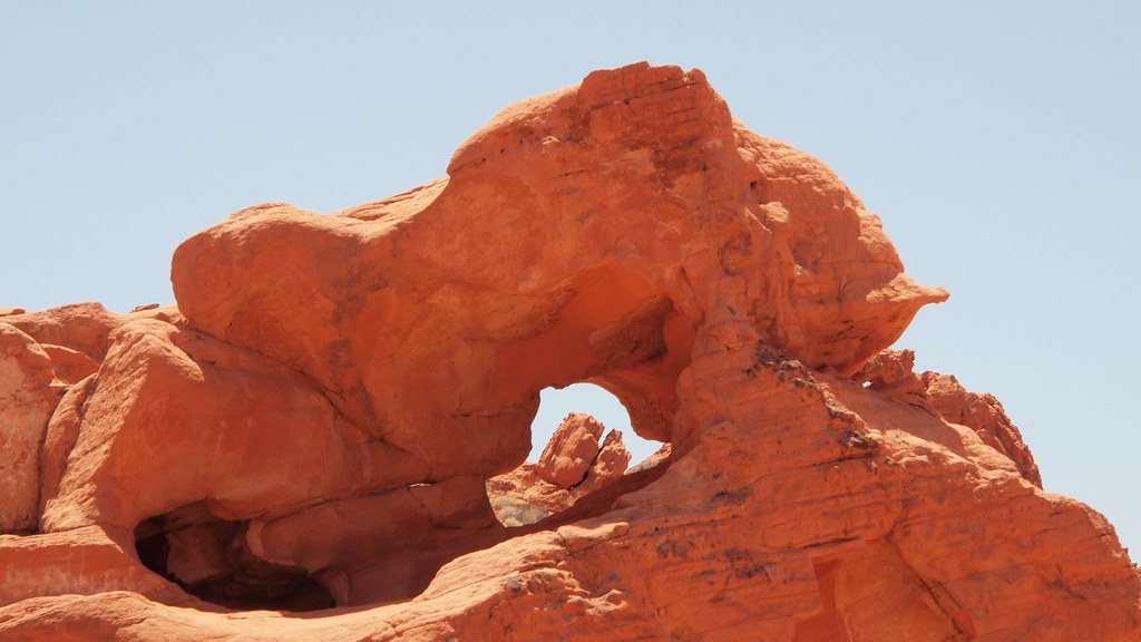
Valley of Fire East Entrance
Coming from Mesquite we choose for the East entrance.
The East Entrance to the Valley of Fire State Park is located off State Route 169, 8 miles south of the town of Overton and 1/4 mile north of Overton Beach Marina.
Go through Moapa Valley, take Exit #93 off Interstate 15 and head south on 169/Moapa Valley Blvd.
You will pass through the towns of Logandale and Overton in Moapa Valley.
Approximately 8 miles after leaving Overton you will come to the Entrance Road to the Valley of Fire on your right.
Tracks GPS
Puntos del track-
GPX / Garmin Map Source (gpx) download
-
TCX / Garmin Training Center® (tcx) download
-
CRS / Garmin Training Center® (crs) download
-
Google Earth (kml) download
-
G7ToWin (g7t) download
-
TTQV (trk) download
-
Overlay (ovl) download
-
Fugawi (txt) download
-
Kompass (DAV) Track (tk) download
-
Hoja de ruta (pdf) download
-
Original file of the author (gpx) download
More about the tour author
|
|
willydn |
Añadir a mis favoritos
Eliminar de mis favoritos
Edit tags
Open track
Mi valoración
Rate