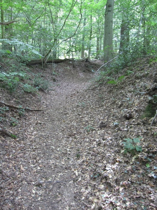
Der Weg führt über Wiesen zum Vijlenerbosch. Es ist ein Rundweg mit z.T. schmalen Pfaden. Nur kurze Strecken müssen auf Asphalt zurückgelegt werden.
Galería de rutas
Mapa de la ruta y perfil de altitud
Minimum height 177 m
Maximum height 250 m
Comentarios

Von Aachen aus die B1 Richtung Maastricht, hinter Lemiers zweigt eine kleine Straße nach links Richtung Vijlen ab. In Vijlen findet man auf der Hauptstraße (Vijlenberg) oder auf der Seitenstraße (Pastoriweg) genügend Parkplätze
Tracks GPS
Puntos del track-
GPX / Garmin Map Source (gpx) download
-
TCX / Garmin Training Center® (tcx) download
-
CRS / Garmin Training Center® (crs) download
-
Google Earth (kml) download
-
G7ToWin (g7t) download
-
TTQV (trk) download
-
Overlay (ovl) download
-
Fugawi (txt) download
-
Kompass (DAV) Track (tk) download
-
Hoja de ruta (pdf) download
-
Original file of the author (gpx) download
Añadir a mis favoritos
Eliminar de mis favoritos
Edit tags
Open track
Mi valoración
Rate


