


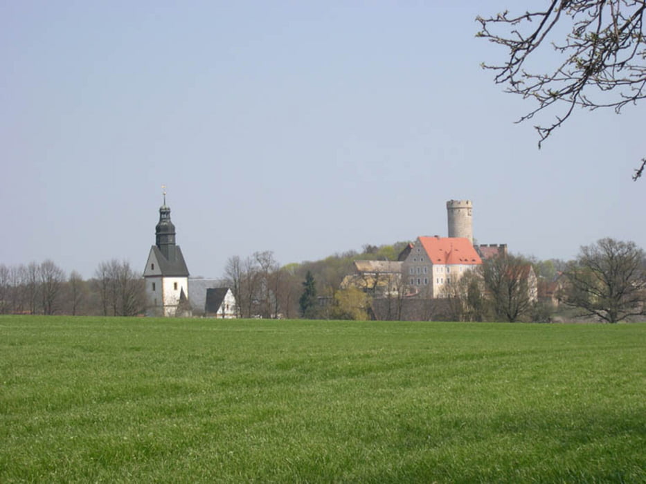
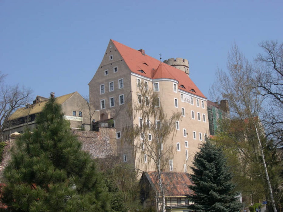
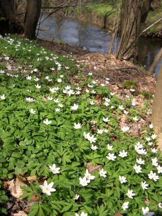
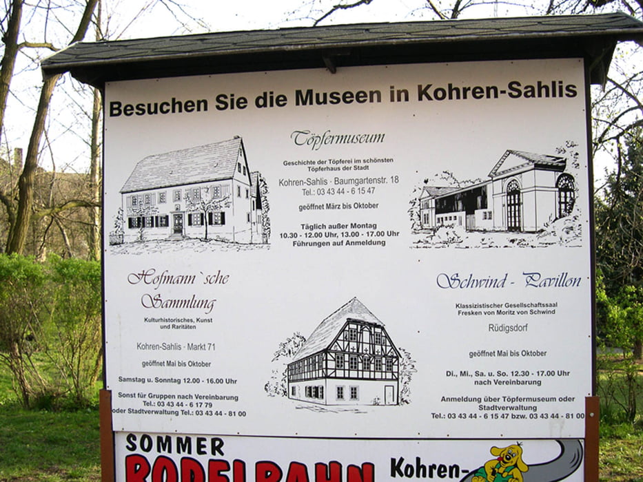
Durch das Hügelland zwischen Glauchau und Frohburg mit Burgen, Schlössern, Seen und sehenswertem Töpfermarkt in Kohren-Sahlis eine Woche nach Himmelfahrt. Fahrt auf meist asphaltierten Nebenstraßen, teilweise auch auf Feld- und Waldwegen. Einige Ortsdurchfahrten, z. B. Zürchau u. Selleris, hatten noch kurze Strecken mit Kopfsteinpflaster.
Routenverlauf:
Weidensdorf > Pfaffroda > Tettau > Pfarrsdorf > Koblenz > Naundorf > Bornshain > Maltis > Zürchau > Saara > Selleris > Mockern > Zschechwitz > Paditz > Kotteritz > Nobitz > Kraschwitz > Bocka > Pöppchen > Freizeitzentrum Pahna > Frohburg > Streitwald > Gnadstein > Wüstenhain > Altmörbitz > Zschernichen > Boderitz > Ziegelheim > Gähsnitz > Oberwiera > Weidensdorf
Alternative Teilstrecke über Kohren-Sahlis und Rüdigsdorf.
In der gpx-Datei Track der Route und die alternative Teilstrecke über Kohren-Sahlis.
Statt einer Beschreibung nur Informationen an den Wegpunkten (Parken, Gastronomie, Badestellen, Wegbeschaffenheit, Abzweighinweis, Besonderheiten).
Más información en
http://www.wolf-klepzig.de/hp/rad.htmGalería de rutas
Mapa de la ruta y perfil de altitud
Minimum height 161 m
Maximum height 299 m
More about the tour author

|
klegpst |
Comentarios

A4 Abfahrt 64 Glauchau-Ost > B175 Richtung Waldenburg > erste Straße links nach Weidensdorf
Tracks GPS
Puntos del track-
GPX / Garmin Map Source (gpx) download
-
TCX / Garmin Training Center® (tcx) download
-
CRS / Garmin Training Center® (crs) download
-
Google Earth (kml) download
-
G7ToWin (g7t) download
-
TTQV (trk) download
-
Overlay (ovl) download
-
Fugawi (txt) download
-
Kompass (DAV) Track (tk) download
-
Hoja de ruta (pdf) download
-
Original file of the author (gpx) download
More about the tour author
|
|
klegpst |
Añadir a mis favoritos
Eliminar de mis favoritos
Edit tags
Open track
Mi valoración
Rate