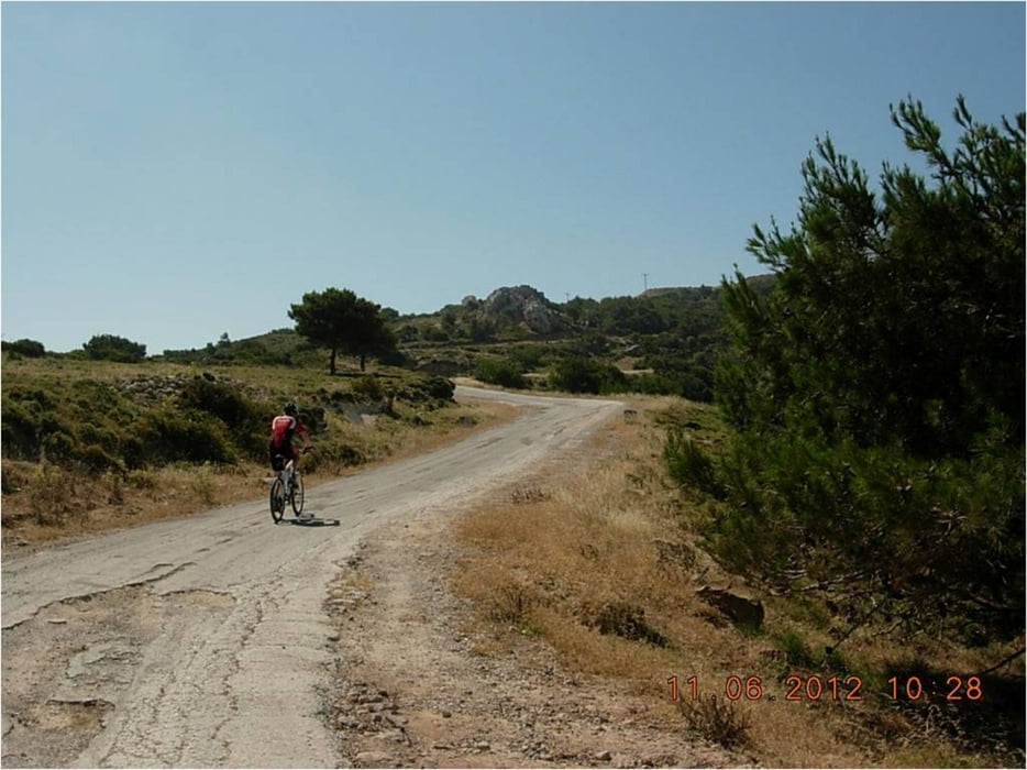
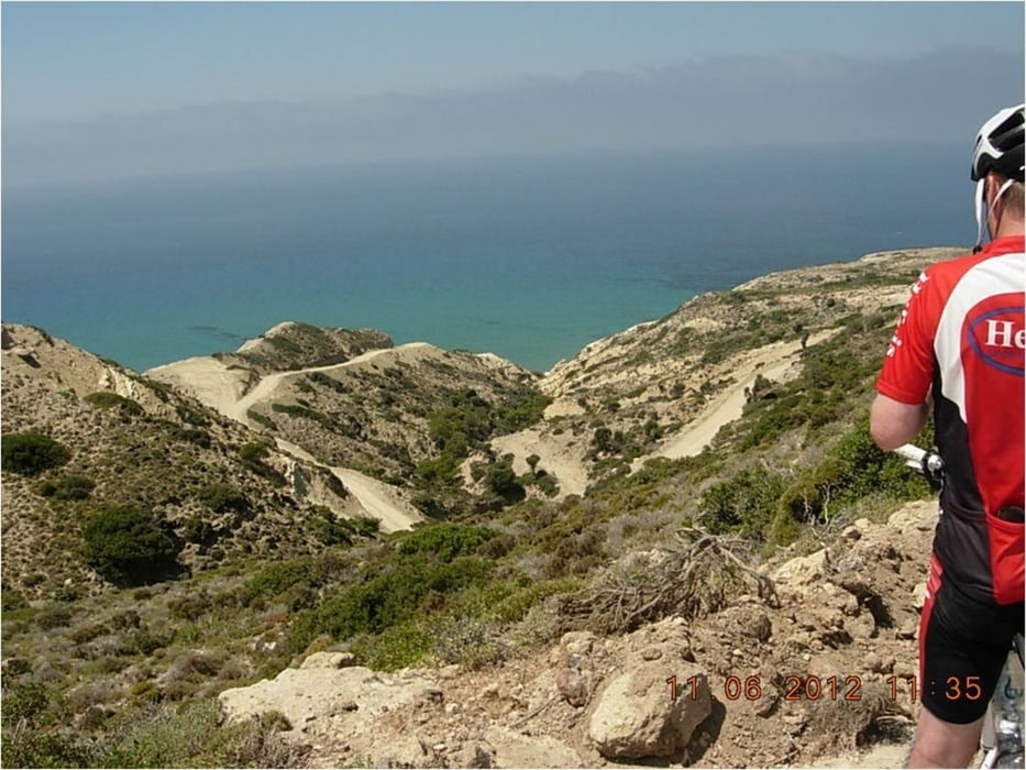
Vorsicht ist auf Kos geboten, wenn man auf "asphaltierten" Straßen (auch auf Hauptverkehrswegen) unterwegs ist. Plötzlich sind auf der Fahrbahn Schlaglöcher aller Größen...
Die einheimischen Autofahrer sind sehr rücksichtsvoll. Man wird angehupt als Zeichen, dass man gesehen wurde und das ist auch so aufzufassen! Die Wege sind teilweise ausgewaschen...
Galería de rutas
Mapa de la ruta y perfil de altitud
Minimum height 41 m
Maximum height 314 m
Comentarios

Tracks GPS
Puntos del track-
GPX / Garmin Map Source (gpx) download
-
TCX / Garmin Training Center® (tcx) download
-
CRS / Garmin Training Center® (crs) download
-
Google Earth (kml) download
-
G7ToWin (g7t) download
-
TTQV (trk) download
-
Overlay (ovl) download
-
Fugawi (txt) download
-
Kompass (DAV) Track (tk) download
-
Hoja de ruta (pdf) download
-
Original file of the author (gpx) download
Añadir a mis favoritos
Eliminar de mis favoritos
Edit tags
Open track
Mi valoración
Rate


