


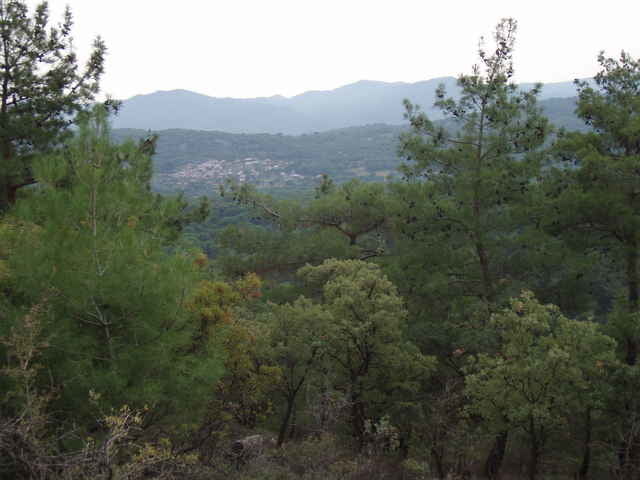
The Kozak Mountains are located between Ayvalik and Bergama; starting point is at a spring (monument) located close to a riverbed. The hike is easily accessed by car (paved road, but look out for the pot-holes near the trail head). For the first half this easy hike follows the river and then climbs a small mountain. The little extra trip to the top is optional, but worth it for the views from the "Rock". The near-by Kozak Cafe in "Demircidere" offers excellent Boerek and Chay and has great views of the vineyards and mountains. More ambitious hikers combine this hike with "Kozak Mountains Walk 04".
Galería de rutas
Mapa de la ruta y perfil de altitud
Minimum height 214 m
Maximum height 389 m
More about the tour author

|
fgoettsche |
Comentarios

From Ayvalik, take the mountain road via "Yeniköy" in direction Kozak and turn off just before the little village of Demircidere. Alternatively, you can take the same road but in opposite direction from Bergama.
Tracks GPS
Puntos del track-
GPX / Garmin Map Source (gpx) download
-
TCX / Garmin Training Center® (tcx) download
-
CRS / Garmin Training Center® (crs) download
-
Google Earth (kml) download
-
G7ToWin (g7t) download
-
TTQV (trk) download
-
Overlay (ovl) download
-
Fugawi (txt) download
-
Kompass (DAV) Track (tk) download
-
Hoja de ruta (pdf) download
-
Original file of the author (g7t) download
More about the tour author
|
|
fgoettsche |
Añadir a mis favoritos
Eliminar de mis favoritos
Edit tags
Open track
Mi valoración
Rate