Vom Bahnhof in Marktoberdorf geht es zuerst auf Teerstraße und anschließen auf Forststraßen über Sulzschneid und am Hopfensee vorbei Richtung Alatsee.
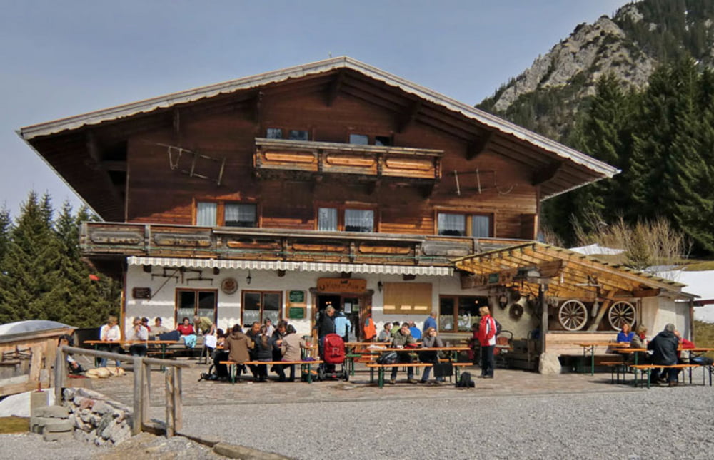
Von Vils aus folgt man leicht fahrbar der Forststraße bergauf bis zur Vilser Alpe.
Zurück nach Marktoberdorf führt die Tour meist auf geteerten Radwegen über Pfronten und Sulzschneid.
Galería de rutas
Mapa de la ruta y perfil de altitud
Minimum height 646 m
Maximum height 1194 m
Comentarios

Von München A 96 bis Abzweig B 12 Richtung Kaufbeuren/Marktoberdorf, B 12 bis Abfahrt Marktoberdorf
Von Ulm über A7 bis Kempten und über B 12 bis Marktoberdorf
Tracks GPS
Puntos del track-
GPX / Garmin Map Source (gpx) download
-
TCX / Garmin Training Center® (tcx) download
-
CRS / Garmin Training Center® (crs) download
-
Google Earth (kml) download
-
G7ToWin (g7t) download
-
TTQV (trk) download
-
Overlay (ovl) download
-
Fugawi (txt) download
-
Kompass (DAV) Track (tk) download
-
Hoja de ruta (pdf) download
-
Original file of the author (gpx) download
Añadir a mis favoritos
Eliminar de mis favoritos
Edit tags
Open track
Mi valoración
Rate


