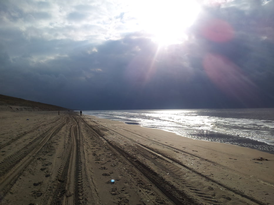
Zandvoort 16 km
This track starts at a car park east of Zandvoort. The first part leads on a paved road through the Dunes. After 7 km we leave the track towards the beach and having arrived there we walk a couple of kilometers north. At a beach cafe, we walk for a short while in easterly direction through the dunes until we are back on a paved road. For the last couple of kilometers we follow this road until where back at the car park. The nicest bit of this hike is the large number of deer and rabbits that can be spotted while walking (we even spotted some seals swimming close to the beach).
Mapa de la ruta y perfil de altitud
Comentarios

Tracks GPS
Puntos del track-
GPX / Garmin Map Source (gpx) download
-
TCX / Garmin Training Center® (tcx) download
-
CRS / Garmin Training Center® (crs) download
-
Google Earth (kml) download
-
G7ToWin (g7t) download
-
TTQV (trk) download
-
Overlay (ovl) download
-
Fugawi (txt) download
-
Kompass (DAV) Track (tk) download
-
Hoja de ruta (pdf) download
-
Original file of the author (gpx) download

