Login

¿Ha olvidado su contraseña?

Las cookies tienen que estar habilitadas!
Las cookies no están habilitadas en tu navegador. Por favor, modifica la configuración antes de continuar.

Not a member yet?

Register now
Login

Available for registred users only

Log in to use this feature.

¿Ha olvidado su contraseña?

Las cookies tienen que estar habilitadas!
Las cookies no están habilitadas en tu navegador. Por favor, modifica la configuración antes de continuar.

Not a member yet?

Register now
Filtro
Categorías
Filtros avanzados
  • Distancia (km)
  • Altitud en metros
Guardar filtro Restablecer filtro

TrackRank

QRCode

Technical data

Distancia80,7 km Altitud en metros1557 m Descenso1529 m Duración04:35 h:m Fecha16.04.2014
Valoraciones Autor Paisaje Diversión Condición Técnica

Estadística

184 Visitas Valoraciones 21 Descargas Promedio
Rate
  • Hoja de ruta
  • Punto de partida
  • Descargas

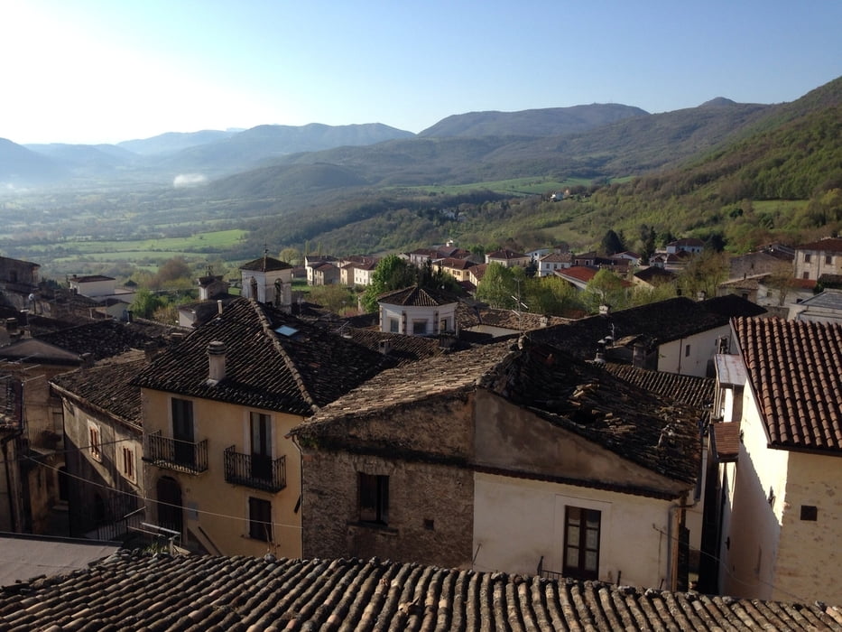
The national park is fantastic and you have so many fantastic views, that you must go there to join it no word can replace the adventure.

The bike ride is also a good tour with elevation of 5-7% and some minor pikes at 8-9% but only in less than 100 meters at a time. Therefor the most bike riders can do the tour without any problems. If you have not been riding mountains before, the tour would be to demanding for you.

You can easily add more kilometers to the tour and I also found elevations over 6-7 kilometers with an average of 10-13% that you can add to the tour, ex. from Riano to Goriano Sicoli, road SP9.

 I started In Gagliano Aterno where I stayed at www.sottoilcastello.dk

Galería de rutas

Mapa de la ruta y perfil de altitud

  • Open Street Map
  • Google
Minimum height 488 m Maximum height 1397 m Vista detallada

More about the tour author

svanner
Miembro desde 2011

Enviar mensaje privado

Comentarios

Tracks GPS

Puntos del track
  • GPX / Garmin Map Source (gpx) download
  • TCX / Garmin Training Center® (tcx) download
  • CRS / Garmin Training Center® (crs) download
  • Google Earth (kml) download
  • G7ToWin (g7t) download
  • TTQV (trk) download
  • Overlay (ovl) download
  • Fugawi (txt) download
  • Kompass (DAV) Track (tk) download
  • Hoja de ruta (pdf) download
  • Original file of the author (gpx) download

More about the tour author

svanner
Miembro desde 2011

Enviar mensaje privado
Share track
Añadir a mis favoritos
Eliminar de mis favoritos
Edit tags
Mi valoración
Rate
Ruta: Tour around Monte Sirente
Tipo: Bicicleta de carreras
Distancia: 80,7 km
valorizado al:
Duración:
Day(s)
Hour(s)
Minute(s)
Valoración: Paisaje Diversión Condición Técnica