
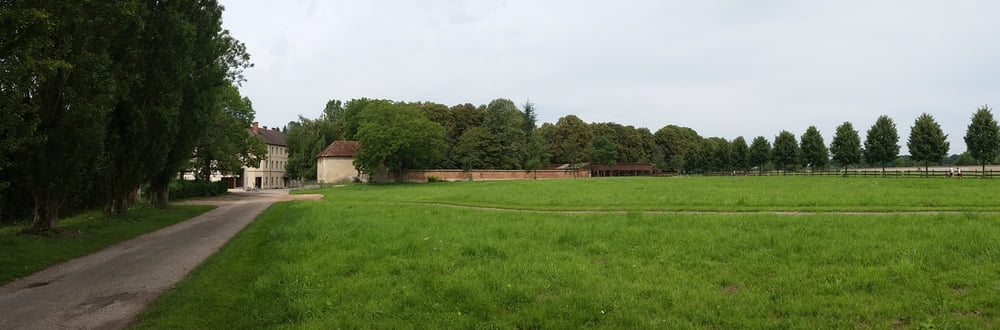

Continuing the trip through Burgundy you start where yesterday´s tour ends: in Seurre. You follow the river several kilometers to the north and plan to visit the abbey of Citeaux for a short while; you can even have lunch here because it is a good place (bring your lunch, there´s no restaurant).
Today´s tour ends at Saint Jean de Losne, a small town next to the river. It has a couple of intersting counstructions but it is more a fishermen´s town.
Galería de rutas


Mapa de la ruta y perfil de altitud
Minimum height 169 m
Maximum height 236 m
More about the tour author

|
alonso100 |
Comentarios

See my tour Burgundy 3
This tour is part of a 6-day tour with the bike in the Burgundy and every tour is described individually.
Tracks GPS
Puntos del track-
GPX / Garmin Map Source (gpx) download
-
TCX / Garmin Training Center® (tcx) download
-
CRS / Garmin Training Center® (crs) download
-
Google Earth (kml) download
-
G7ToWin (g7t) download
-
TTQV (trk) download
-
Overlay (ovl) download
-
Fugawi (txt) download
-
Kompass (DAV) Track (tk) download
-
Hoja de ruta (pdf) download
-
Original file of the author (gpx) download
More about the tour author
|
|
alonso100 |
Añadir a mis favoritos
Eliminar de mis favoritos
Edit tags
Open track
Mi valoración
Rate