
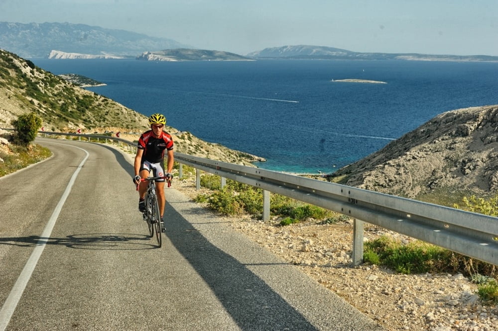

Interesantna ruta koja nije kružna već se vraća istim smjerom nazad. Vodi do Stare Baške, mjesta u blizini Baške međutim s jedinim cestovnim putem koji vodi preko Punta. Stara Baška je zanimljiva jer je na kraju “slijepog crijeva”, a jedna od posebnosti je neprometna cesta s lijepim vidicima na okolne otoke te mogućnošću kupanja na nekoj od plaža na ruti.
This is an interesting route which is not circular, but takes the same way back. It leads you to Stara Baška, a town in close proximity to Baška but the only road will take you there through Punat. Stara Baška is interesting as it is at the very end of an “appendix” and what will definitely thrill you is a low-traffic road with wonderful views of the surrounding islands and it offers an opportunity to rest on one of the many beautiful beaches in the area, and along the route.
http://adriabike.hr
https://hotelibaska.hr
Mapa de la ruta y perfil de altitud
Minimum height 1 m
Maximum height 317 m
More about the tour author
|
|
AdriaBikeHotels |
Comentarios

Tracks GPS
Puntos del track-
GPX / Garmin Map Source (gpx) download
-
TCX / Garmin Training Center® (tcx) download
-
CRS / Garmin Training Center® (crs) download
-
Google Earth (kml) download
-
G7ToWin (g7t) download
-
TTQV (trk) download
-
Overlay (ovl) download
-
Fugawi (txt) download
-
Kompass (DAV) Track (tk) download
-
Hoja de ruta (pdf) download
-
Original file of the author (gpx) download
More about the tour author
|
|
AdriaBikeHotels |
Añadir a mis favoritos
Eliminar de mis favoritos
Edit tags
Open track
Mi valoración
Rate