


Oberstdorf - Vier Täler Tour
Start in Kierwang
Ziel in Kierwang
Tourenbeschreibung:
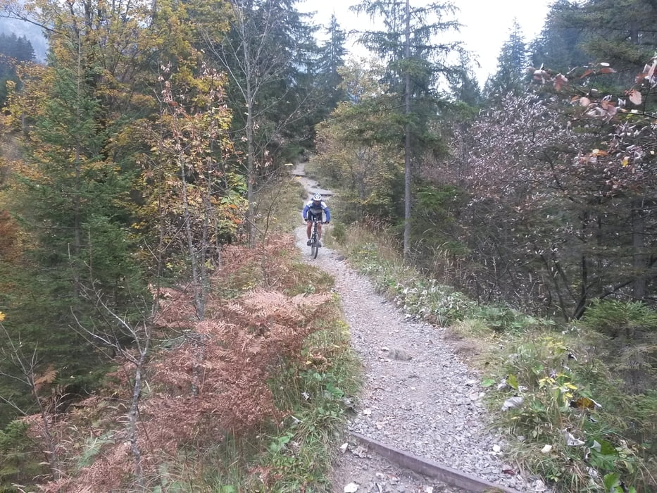
von Kierwang aus auf Teer nach Fischen - hier über die Iller weiter Richtung Reichenbach - steil bergauf Richtung Gaisalpe - vor Gaisalpkapelle 180° Kurve rechts auf Schotter auf Wallraffweg Richtung Oberstdorf - bei Skisprungarena Einmündung auf Teerstraße links bergauf Richtung Nebelhorn Mittelstation - weiter auf Teer bis Mittelstation Nebelhornbahn - an Mittelstation vorbei weiter Richtung nächste Alpe - oberhalb Alpe vorbei auf Schotter zurück Richtung Oberstdorf - weiter auf schmalen Pfaden und herrlichen Trails bis oberhalb Skisprungarena - weiter leicht bergauf auf Teer ins Oytal - hier 180° Kurve und auf Schotter und schmalen Pfaden zurück Richtung Gruben - an Gruben vorbei Richtung Spielmannsau
Zusatz (ca. 300Hm) : vor Spielmannsau links ins Traufbachtal und weiter auf Schotter zurück in Trettachtal
Spielmannsau weiter bis Talende - hier flussabwärts RECHTS auf schmalen Pfaden zurück - bei Markierung Flussdurchquerung und weiter zurück auf schmalen Pfaden Richtung Oberstdorf - über Burgstall und Langlaufarena ins Stillachtal Richtung Talstation Fellhornbahn - an Talstation vorbei und bei Speichersee rechts steil hoch - rechts über Brücke, kurze Tragepasse weiter auf Schotter nach oben - auf Teerstraße abwärts bis Schwand - über Freibergsee zur Talstation Söllereckbahn - weiter Kornau über Breitachbrücke Richtung Tiefenbach und Obermaiselstein zurück nach Kierwang
Tour entspricht Teilweise der kleinen Marathon Runde beim Oberstdorf Marathon
Galería de rutas
Mapa de la ruta y perfil de altitud
Minimum height 764 m
Maximum height 1365 m
More about the tour author
|
|
schmidt-markus1 |
Comentarios

Tracks GPS
Puntos del track-
GPX / Garmin Map Source (gpx) download
-
TCX / Garmin Training Center® (tcx) download
-
CRS / Garmin Training Center® (crs) download
-
Google Earth (kml) download
-
G7ToWin (g7t) download
-
TTQV (trk) download
-
Overlay (ovl) download
-
Fugawi (txt) download
-
Kompass (DAV) Track (tk) download
-
Hoja de ruta (pdf) download
-
Original file of the author (gpx) download
More about the tour author
|
|
schmidt-markus1 |
Añadir a mis favoritos
Eliminar de mis favoritos
Edit tags
Open track
Mi valoración
Rate