
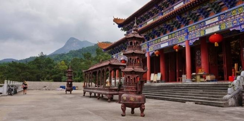

The part to and from the mountain park is variable, here is only one of possible variants. The main part is the concrete road, until the summit. On the pass 530 m, there is a gate. The guys sitting there do not allow you to continue with your bike; you have either leave the bike at the gate or get a special permit. I
however do not know where to get the permit. I nay case, the remaining way (4 km and 400 m accent) is a best way for a bike ride - not too steep and of a good quality. Unfortunately, we hat to walk :(
Más información en
http://www.wafflesandsteel.com/category/bei-feng-mountain/Mapa de la ruta y perfil de altitud
Minimum height
Maximum height 902 m
More about the tour author

|
py_dolfo |
Comentarios

Tracks GPS
Puntos del track-
GPX / Garmin Map Source (gpx) download
-
TCX / Garmin Training Center® (tcx) download
-
CRS / Garmin Training Center® (crs) download
-
Google Earth (kml) download
-
G7ToWin (g7t) download
-
TTQV (trk) download
-
Overlay (ovl) download
-
Fugawi (txt) download
-
Kompass (DAV) Track (tk) download
-
Hoja de ruta (pdf) download
-
Original file of the author (gpx) download
More about the tour author
|
|
py_dolfo |
Añadir a mis favoritos
Eliminar de mis favoritos
Edit tags
Open track
Mi valoración
Rate