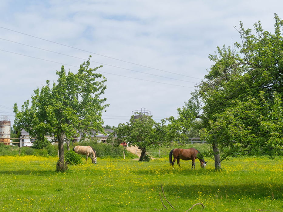
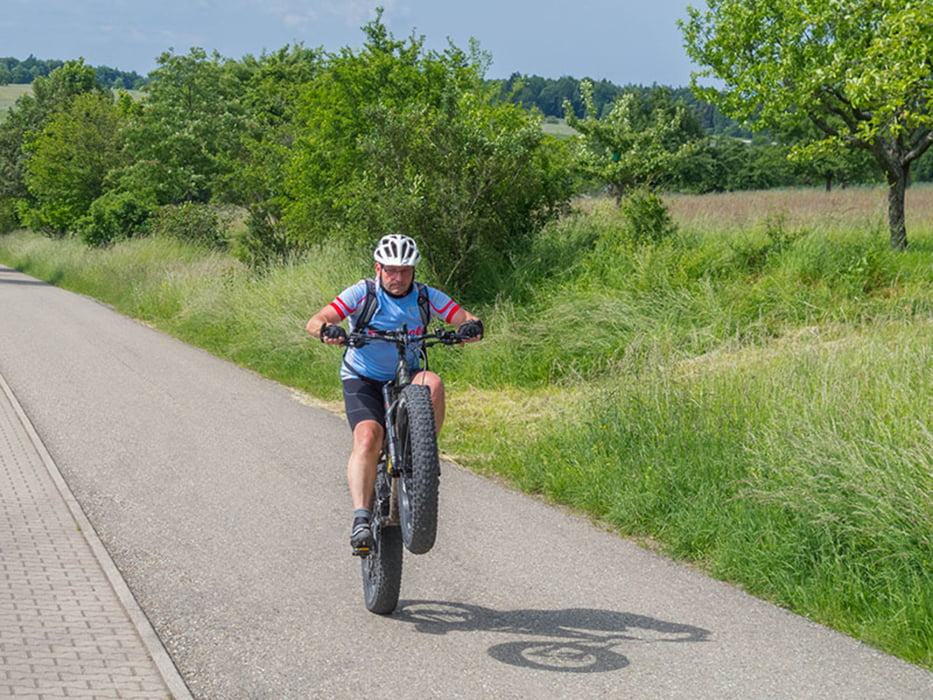
Abwechslungsreiche Tour, manchmal etwas Straße, meist Waldwege und ein paar Trails.
Gefahrene Strecke: Busenbach - Bahnhof Busenbach - Neurod - Graf-Rhena-Weg - Schöllbronn Bad - Rimmelsbacherhof - Völkersbach - Waldprechtsweier - Am Bergwald - Glasbächle - Malsch - Sulzbach - Oberweier - Ettlingenweier - Ettlingen (Eis) - Vogelsruhweg - Rotenbuckel - Reichenbach - Busenbach.
Más información en
http://www.velotouren.net/radtouren/touren/touren2015/rund-um-karlsruhe/ruka1516/Galería de rutas
Mapa de la ruta y perfil de altitud
Minimum height 132 m
Maximum height 477 m
Comentarios

Tracks GPS
Puntos del track-
GPX / Garmin Map Source (gpx) download
-
TCX / Garmin Training Center® (tcx) download
-
CRS / Garmin Training Center® (crs) download
-
Google Earth (kml) download
-
G7ToWin (g7t) download
-
TTQV (trk) download
-
Overlay (ovl) download
-
Fugawi (txt) download
-
Kompass (DAV) Track (tk) download
-
Hoja de ruta (pdf) download
-
Original file of the author (gpx) download
Añadir a mis favoritos
Eliminar de mis favoritos
Edit tags
Open track
Mi valoración
Rate


