Dies ist keine eigene Tour, sondern ist als eine leichtere Abfahrts - Variante zu der Route „Vom Atlantik zur Paul da Serra – Hochfläche“ gedacht. Siehe: http://www.gps-tour.info/de/touren/detail.142487.html
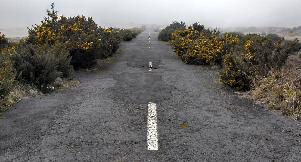
Flott, aber auf leicht rumpeligem Asphalt der ER209 geht es 1400 Hm ohne Steilpassagen und nahezu verkehrslos in einem Rutsch runter nach Ponta do Sol.
Einkehr: Restaurant im unteren Bereich der Tour (siehe Wegpunkt).
Start: „Cristo Rei” am südlichen Rand der Paul da Serra Hochfläche.
Ende: Ponta do Sol
ANMERKUNGEN: Bei zweifelhaften Abzweigungen (die im spitzen Winkel) sind im Track Hackerl in die abzubiegende Richtung gezeichnet.
Mapa de la ruta y perfil de altitud
Comentarios

Start: „Cristo Rei” am südlichen Rand der Paul da Serra Hochfläche.
Ende: Ponta do Sol
Tracks GPS
Puntos del track-
GPX / Garmin Map Source (gpx) download
-
TCX / Garmin Training Center® (tcx) download
-
CRS / Garmin Training Center® (crs) download
-
Google Earth (kml) download
-
G7ToWin (g7t) download
-
TTQV (trk) download
-
Overlay (ovl) download
-
Fugawi (txt) download
-
Kompass (DAV) Track (tk) download
-
Hoja de ruta (pdf) download
-
Original file of the author (gpx) download


