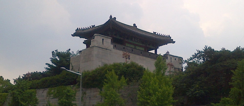
Easy hiking tour along part of the ancient city wall of Seoul. Some nice views to the city. Tour ends at Dongdaemun gate: en.wikipedia.org/wiki/Heunginjimun
Más información en
http://seoulcitywall.seoul.go.kr/front/eng/index.doGalería de rutas
Mapa de la ruta y perfil de altitud
Minimum height 41 m
Maximum height 192 m
Comentarios

From Anguk station take bus number 2 to Waryong park, where the track starts. From Dongdaemun gate you can enter the subway and take either line number 1 or 4 to get back to your starting point.
Tracks GPS
Puntos del track-
GPX / Garmin Map Source (gpx) download
-
TCX / Garmin Training Center® (tcx) download
-
CRS / Garmin Training Center® (crs) download
-
Google Earth (kml) download
-
G7ToWin (g7t) download
-
TTQV (trk) download
-
Overlay (ovl) download
-
Fugawi (txt) download
-
Kompass (DAV) Track (tk) download
-
Hoja de ruta (pdf) download
-
Original file of the author (gpx) download
Añadir a mis favoritos
Eliminar de mis favoritos
Edit tags
Open track
Mi valoración
Rate


