
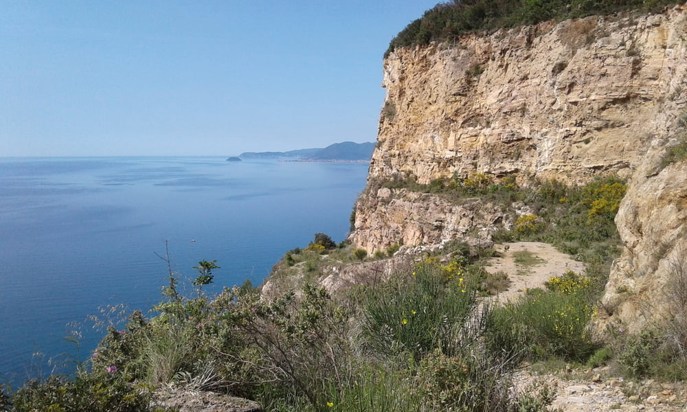

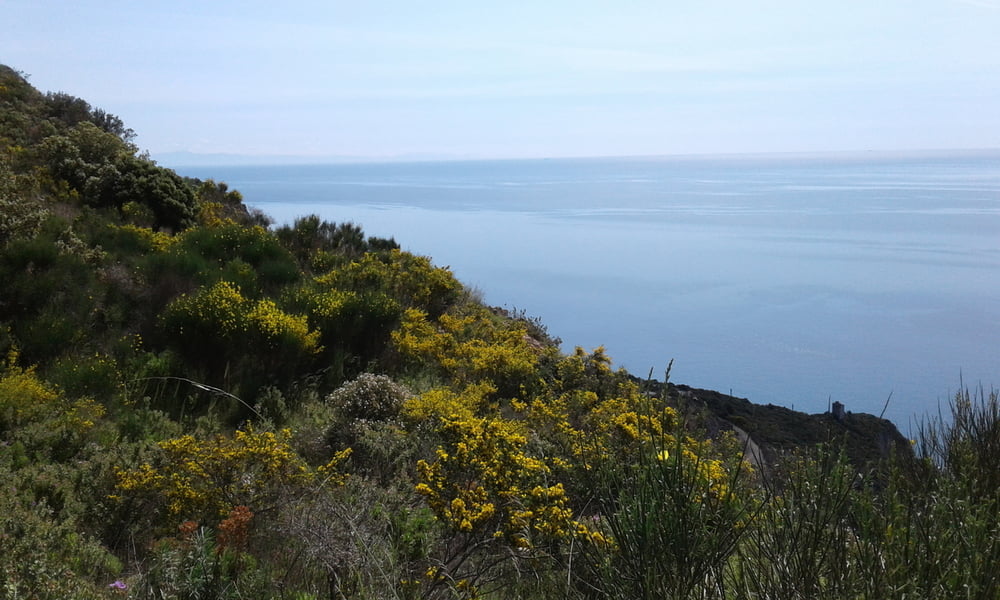
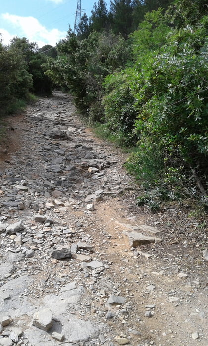
vom Camping Tahiti nach Final Borgo und ab hier hinauf auf groben Untergrund auf den Caprazoppa. Schöner S1 Trail hinab nach Borgo Verezzi und die Teerstrasse wieder hinauf zur Kirche. Sehr steile Treppe - ich mußte schieben. Von hier schöner S0 Trail hinab nach Gorra und weiter hinab nch Calice Ligure. Unter der Autobahnbrücke durch und neben der Autobahn steil hoch. Ohne Motor nicht zu schaffen. Weieter auf Fahrweg (manchmal Asphalt) nach Feligno. Wieder steil hinauf nach Cia und Trail hinab nach Orco. Wieder hinauf und Trail hinab durchs Val Cornei nach Calvisio (kleines Stück zum Runtertragen - unfahrbar). Auf Asphalt zurück zum Camping.
Galería de rutas

Mapa de la ruta y perfil de altitud
Minimum height 10 m
Maximum height 372 m
More about the tour author
|
|
Fruehaufsteher |
Comentarios

Tracks GPS
Puntos del track-
GPX / Garmin Map Source (gpx) download
-
TCX / Garmin Training Center® (tcx) download
-
CRS / Garmin Training Center® (crs) download
-
Google Earth (kml) download
-
G7ToWin (g7t) download
-
TTQV (trk) download
-
Overlay (ovl) download
-
Fugawi (txt) download
-
Kompass (DAV) Track (tk) download
-
Hoja de ruta (pdf) download
-
Original file of the author (gpx) download
More about the tour author
|
|
Fruehaufsteher |
Añadir a mis favoritos
Eliminar de mis favoritos
Edit tags
Open track
Mi valoración
Rate