Login

Olvidaste tu contraseña?

Las cookies tienen que estar habilitadas!
Las cookies no están habilitadas en tu navegador. Por favor, modifica la configuración antes de continuar.

Not a member yet?

Register now
Login

Available for registred users only

Log in to use this feature.

Olvidaste tu contraseña?

Las cookies tienen que estar habilitadas!
Las cookies no están habilitadas en tu navegador. Por favor, modifica la configuración antes de continuar.

Not a member yet?

Register now
Filtro
Categorías
Advanced filters
  • Distancia (km)
  • Altitud en metros
Guardar filtro Reset filter

TrackRank

QRCode

Technical data

Distancia9,1 km Altitud en metros0 m Descenso0 m Duración05:00 h:m Fecha03.06.2017
Valoraciones Autor Paisaje Diversión Condición Técnica

Estadística

110 Visitas Valoraciones 19 Descargas Promedio
Rate
  • Hoja de ruta
  • Punto de partida
  • Descargas
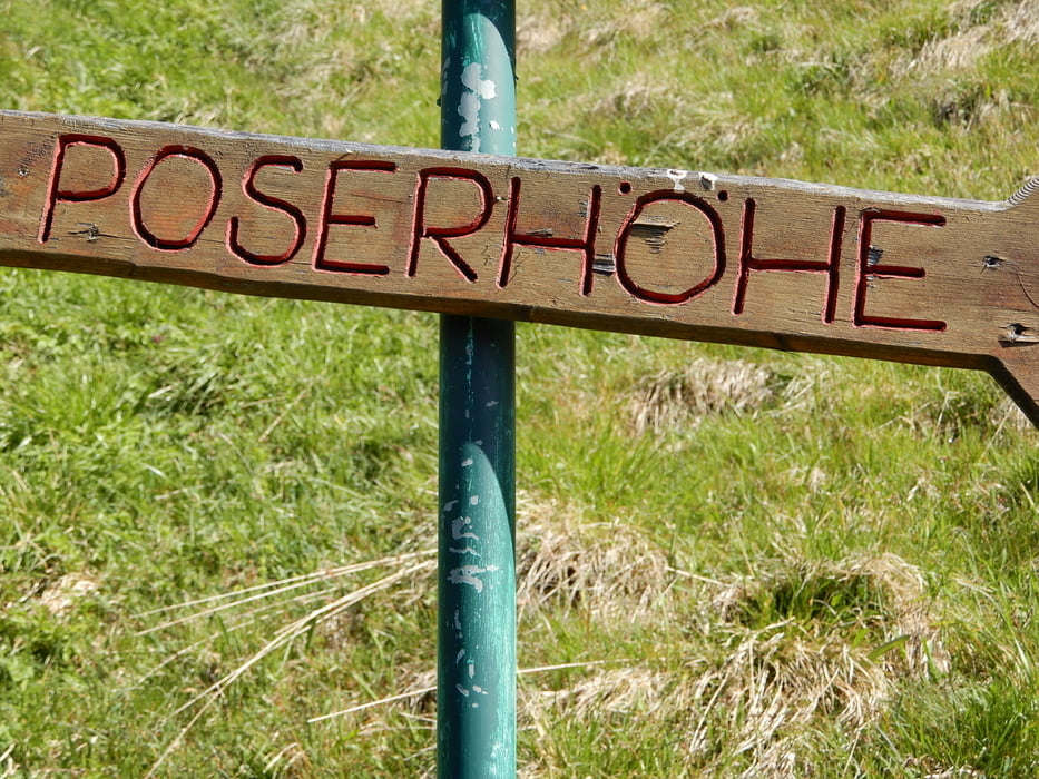
the highest gras covered mountain in Europe. Mountain hut on top, small small meals and beverages. can get combined with other tours I uploaded here. e.g. with Gamskarkogel down to Hofgastein and back on Höhenweg. This you need to download 2 more trecks. Also possible to combine with others to Poserhöhe. Take it all and look at Garmin base camp. 

Galería de rutas

Mapa de la ruta y perfil de altitud

  • Open Street Map
  • Google
Minimum height 99999 m Maximum height -99999 m Vista detallada

More about the tour author

oldienotgoldie
Member since 2017

Send private message

Comentarios

Tracks GPS

Puntos del track
  • GPX / Garmin Map Source (gpx) download
  • TCX / Garmin Training Center® (tcx) download
  • CRS / Garmin Training Center® (crs) download
  • Google Earth (kml) download
  • G7ToWin (g7t) download
  • TTQV (trk) download
  • Overlay (ovl) download
  • Fugawi (txt) download
  • Kompass (DAV) Track (tk) download
  • Hoja de ruta (pdf) download
  • Original file of the author (gpx) download

More about the tour author

oldienotgoldie
Member since 2017

Send private message
Share track
Add to my favorites
Remove from my favorites
Edit tags
Mi valoración
Rate
Ruta: Gamskarkogel
Tipo: Excursionismo
Distancia: 9,1 km
valorizado al:
Duración:
Day(s)
Hour(s)
Minute(s)
Valoración: Paisaje Diversión Condición Técnica