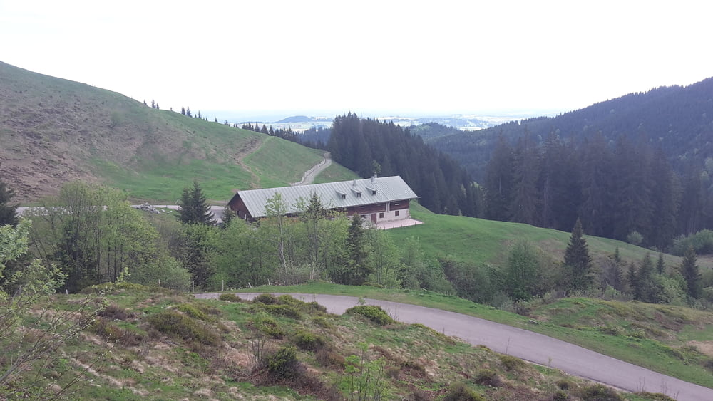
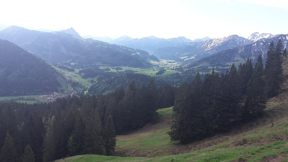
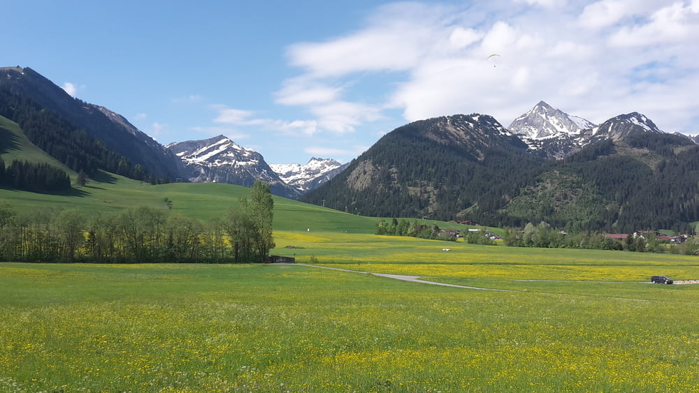
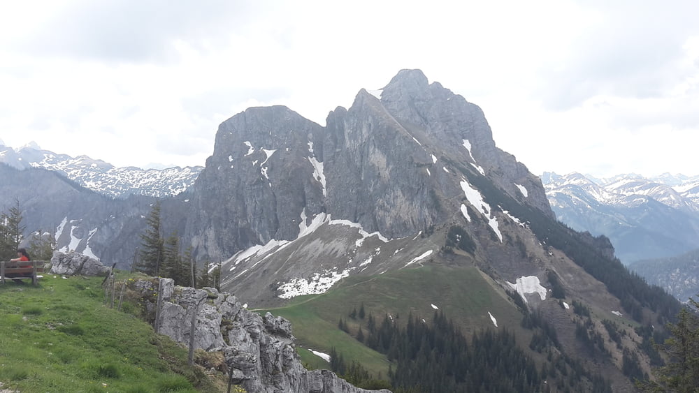
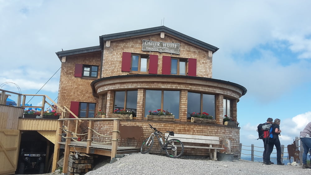
Von Wertach zur Schnitzeralpe und dann hinunter ins Tannheimertal, weiter Richtung Grän und zur Ostlerhütte, sehr schwerer Anstieg und ab Bergstation schieben angesagt bis zur Ostlerhütte. Von der Osterlerhütte runter nach Pfronten zum Vilstal und hinauf zur Stubenalpe und weiter nach Wertach
https://ostlerhuette.panomax.com/
Galería de rutas
Mapa de la ruta y perfil de altitud
Minimum height 850 m
Maximum height 1820 m
Comentarios

Tracks GPS
Puntos del track-
GPX / Garmin Map Source (gpx) download
-
TCX / Garmin Training Center® (tcx) download
-
CRS / Garmin Training Center® (crs) download
-
Google Earth (kml) download
-
G7ToWin (g7t) download
-
TTQV (trk) download
-
Overlay (ovl) download
-
Fugawi (txt) download
-
Kompass (DAV) Track (tk) download
-
Hoja de ruta (pdf) download
-
Original file of the author (gpx) download
Añadir a mis favoritos
Eliminar de mis favoritos
Edit tags
Open track
Mi valoración
Rate

