Login

¿Ha olvidado su contraseña?

Las cookies tienen que estar habilitadas!
Las cookies no están habilitadas en tu navegador. Por favor, modifica la configuración antes de continuar.

Not a member yet?

Register now
Login

Available for registred users only

Log in to use this feature.

¿Ha olvidado su contraseña?

Las cookies tienen que estar habilitadas!
Las cookies no están habilitadas en tu navegador. Por favor, modifica la configuración antes de continuar.

Not a member yet?

Register now
Filtro
Categorías
Filtros avanzados
  • Distancia (km)
  • Altitud en metros
Guardar filtro Restablecer filtro

TrackRank

QRCode

Technical data

Distancia7,3 km Altitud en metros225 m Descenso237 m Duración04:23 h:m Fecha07.10.2018
Valoraciones Autor Paisaje Diversión Condición Técnica

Estadística

282 Visitas Valoraciones 35 Descargas Promedio
Rate
  • Hoja de ruta
  • Punto de partida
  • Descargas

Near the parking place, there starts the trail to the Stouros flat.
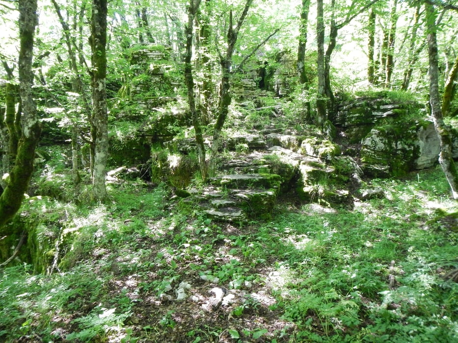
Sometimes the red trail marks are hard to find. If you don’t have a GPS with this track to follow the trail, be careful! There are some gaps in the rocks, and cliffs to the gorge.

From the start to point K1 the trail is signed. From K1 to the trail end, it is not signed.
After the trail end you follow a dust road 2.7km, and the last 900m the paved road.

Galería de rutas

Mapa de la ruta y perfil de altitud

  • Open Street Map
  • Google
Minimum height 1296 m Maximum height 1495 m Vista detallada

More about the tour author

Mapdekode
Miembro desde 2008

Enviar mensaje privado

Comentarios

Drive to the parking place from Oxia (viewing point for the Vikos gorge).

Tracks GPS

Puntos del track
  • GPX / Garmin Map Source (gpx) download
  • TCX / Garmin Training Center® (tcx) download
  • CRS / Garmin Training Center® (crs) download
  • Google Earth (kml) download
  • G7ToWin (g7t) download
  • TTQV (trk) download
  • Overlay (ovl) download
  • Fugawi (txt) download
  • Kompass (DAV) Track (tk) download
  • Hoja de ruta (pdf) download
  • Original file of the author (gpx) download

More about the tour author

Mapdekode
Miembro desde 2008

Enviar mensaje privado
Share track
Añadir a mis favoritos
Eliminar de mis favoritos
Edit tags
Mi valoración
Rate
Ruta: Greece, Zagori, Stouros flat
Tipo: Excursionismo
Distancia: 7,3 km
valorizado al:
Duración:
Day(s)
Hour(s)
Minute(s)
Valoración: Paisaje Diversión Condición Técnica