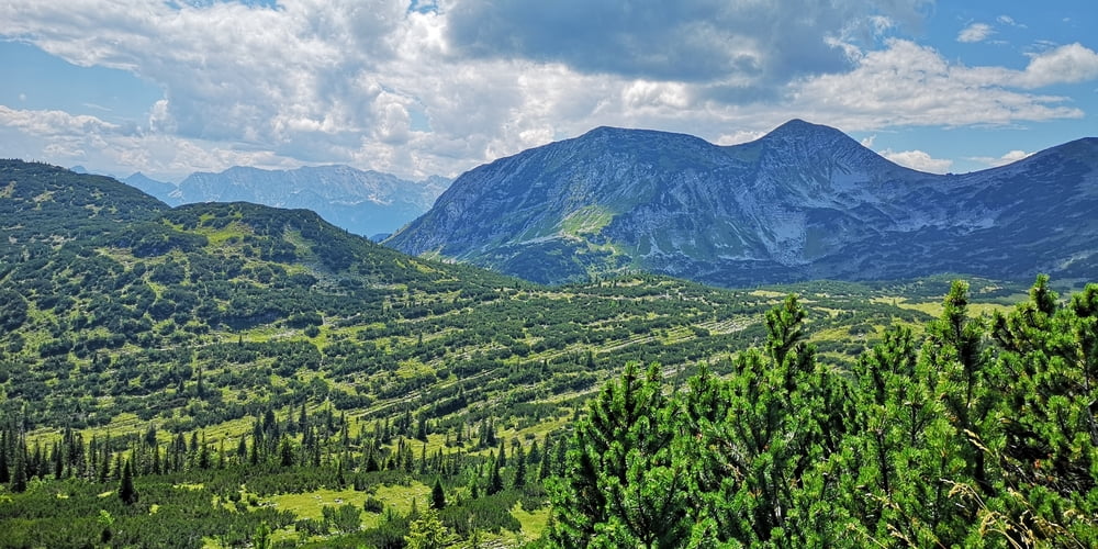
Wie https://www.gps-tour.info/de/touren/detail.152689.html aber hier Kombiniert mit Bergwanderung auf Hohe Kiste.
Zuerst mit dem MTB bis zur Kuhalm fahren (2:30h bis 3h ) und dann zu Fuß auf die Hohe Kiste (hin und zurück ca. 1h an Kuhalm). Von Kuhalm zurück dann über Wildsee und Eschenlainetal.
Achtung: Ab Wildsee muss das Fahrrad für ca. 45 Minuten geschoben werden über „Stock und Stein“.
Wer nicht schieben will kann natürlich auch wieder die Forststraße hinunter nach Eschenlohe fahren. Man verpasst dann allerdings das schöne Eschenlainetal - es lont sich!
Galería de rutas
Mapa de la ruta y perfil de altitud
Comentarios

Tracks GPS
Puntos del track-
GPX / Garmin Map Source (gpx) download
-
TCX / Garmin Training Center® (tcx) download
-
CRS / Garmin Training Center® (crs) download
-
Google Earth (kml) download
-
G7ToWin (g7t) download
-
TTQV (trk) download
-
Overlay (ovl) download
-
Fugawi (txt) download
-
Kompass (DAV) Track (tk) download
-
Hoja de ruta (pdf) download
-
Original file of the author (gpx) download


