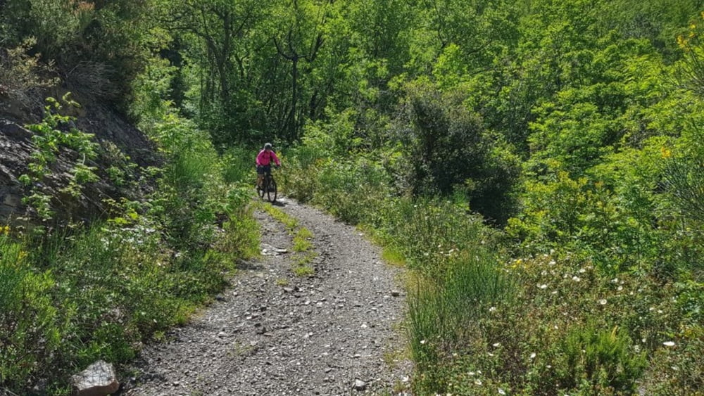
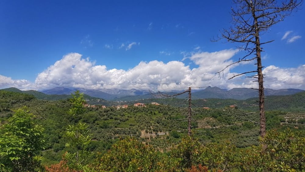
In Garlenda sind wir auf einem Agri-Camping mit Familienanschluß. Die Familie bewirtschaftet Olivenbäume, Wein und betreut auch noch die Bienen. Die Bikerunde ist nach einer örtlichen Empfehlung ausgewählt. Eine grobe Karte gibt es dazu auch. Alles hier am Camping erhältlich. Die Strecke selber ist als leicht bis mittel einzustufen. Aber wie immer: Der Weg ist das Ziel und hat mit schönen Aussichten Spaß gemacht. #noebike
Galería de rutas
Mapa de la ruta y perfil de altitud
Minimum height 41 m
Maximum height 336 m
Comentarios

Tracks GPS
Puntos del track-
GPX / Garmin Map Source (gpx) download
-
TCX / Garmin Training Center® (tcx) download
-
CRS / Garmin Training Center® (crs) download
-
Google Earth (kml) download
-
G7ToWin (g7t) download
-
TTQV (trk) download
-
Overlay (ovl) download
-
Fugawi (txt) download
-
Kompass (DAV) Track (tk) download
-
Hoja de ruta (pdf) download
-
Original file of the author (gpx) download
Añadir a mis favoritos
Eliminar de mis favoritos
Edit tags
Open track
Mi valoración
Rate


