
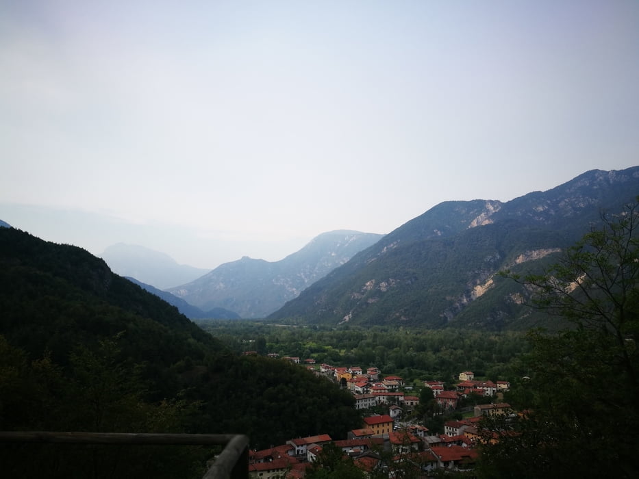

Start in Avasinis, go around Monte Covria either following the Strada Vechia (forrest road, if you find it) or following the main road. The uphil starts ~1km befor Peonis on the right, it is a road of asphalt. Follow this road until ~500m. Turn right on the forrest road. Follow this one until the intersection with another road of asphalt ~850m. Follow the MTB signs to the right until there is an obvious intersection with hiking trails (many signs).
Follow another forrest roas to the right (the only one having no signs)
Follow this overgrown forrest road until ~1000m. Take care, the start of the trail is hardly visible.
Trail is interrupted by a forrest glade and a small building. Pass the building, cross the small road and you will find the trail again.
Mapa de la ruta y perfil de altitud
Minimum height 185 m
Maximum height 996 m
More about the tour author

|
rockandal |
Comentarios

Tracks GPS
Puntos del track-
GPX / Garmin Map Source (gpx) download
-
TCX / Garmin Training Center® (tcx) download
-
CRS / Garmin Training Center® (crs) download
-
Google Earth (kml) download
-
G7ToWin (g7t) download
-
TTQV (trk) download
-
Overlay (ovl) download
-
Fugawi (txt) download
-
Kompass (DAV) Track (tk) download
-
Hoja de ruta (pdf) download
-
Original file of the author (gpx) download
More about the tour author
|
|
rockandal |
Añadir a mis favoritos
Eliminar de mis favoritos
Edit tags
Open track
Mi valoración
Rate