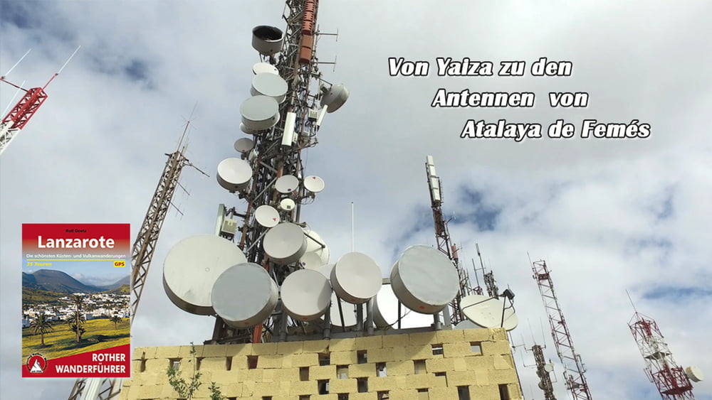
Konditionell ist es schon eine anspruchsvolle Tour. Sie führt meist über feste Wege auf einem der höchsten Berge der Insel. Die Aussicht nach Norden ermöglicht den Blick über den Timanfaya Nationalpark, bis hin zum Mirador del Rio. Nach Süden schaut man hinüber zur Schwesterinsel Fuerteventura. Die komplette Insel liegt einem zu Füßen.
Galería de rutas
Mapa de la ruta y perfil de altitud
Minimum height 184 m
Maximum height 614 m
Comentarios

Tracks GPS
Puntos del track-
GPX / Garmin Map Source (gpx) download
-
TCX / Garmin Training Center® (tcx) download
-
CRS / Garmin Training Center® (crs) download
-
Google Earth (kml) download
-
G7ToWin (g7t) download
-
TTQV (trk) download
-
Overlay (ovl) download
-
Fugawi (txt) download
-
Kompass (DAV) Track (tk) download
-
Hoja de ruta (pdf) download
-
Original file of the author (gpx) download
Añadir a mis favoritos
Eliminar de mis favoritos
Edit tags
Open track
Mi valoración
Rate


