Login

¿Ha olvidado su contraseña?

Las cookies tienen que estar habilitadas!
Las cookies no están habilitadas en tu navegador. Por favor, modifica la configuración antes de continuar.

Not a member yet?

Register now
Login

Available for registred users only

Log in to use this feature.

¿Ha olvidado su contraseña?

Las cookies tienen que estar habilitadas!
Las cookies no están habilitadas en tu navegador. Por favor, modifica la configuración antes de continuar.

Not a member yet?

Register now
Filtro
Categorías
Filtros avanzados
  • Distancia (km)
  • Altitud en metros
Guardar filtro Restablecer filtro

TrackRank

QRCode

Technical data

Distancia56,0 km Altitud en metros311 m Descenso336 m Duración00:00 h:m Fecha29.03.2021
Valoraciones Autor Paisaje Diversión Condición Técnica

Estadística

254 Visitas Valoraciones 15 Descargas Promedio
Rate
  • Hoja de ruta
  • Punto de partida
  • Descargas

Diese Tour habe ich vor Jahren vom Portal gpsies heruntergeladen. Sie ist heute -  im Nachfolgeportal - nicht mehr zu finden. Da ich sie aber wirklich toll finde, stelle ich sie hier ein.

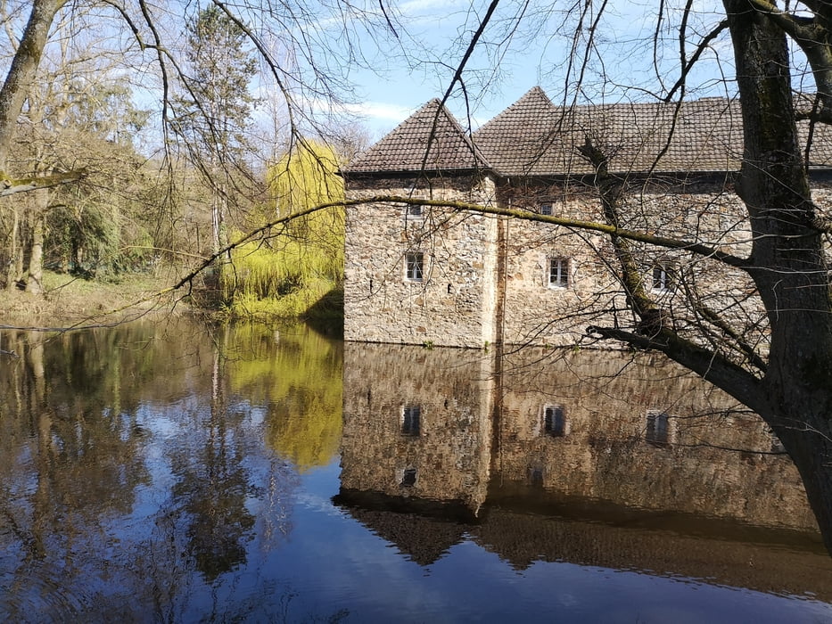
Landschaftlich - zwischen Bergischem Land und Rhein - ist die Tour sehr schön und abwechslungsreich. Gastronomie war am Wegesrand immer mal wieder zu sehen. Wir konnten es leider - wegen Corona - nicht testen.

Ich bin die Tour im Uhrzeigersinn gefahren. Die Wege sind überwiegend unbefestigte Wald- und Feldwege, Asphalt kommt eher selten vor. Zwischendurch sind etwa 7 km recht anstrengend. Aber, es lohnt sich!

Galería de rutas

Mapa de la ruta y perfil de altitud

  • Open Street Map
  • Google
Minimum height 41 m Maximum height 206 m Vista detallada

More about the tour author

kloepperey
Miembro desde 2011

Enviar mensaje privado

Comentarios

Start und Ziel ist der S-Bahnhof Düsseldorf-Hellerhof.

Es gibt auch einen großzügigen P+R

Tracks GPS

Puntos del track
  • GPX / Garmin Map Source (gpx) download
  • TCX / Garmin Training Center® (tcx) download
  • CRS / Garmin Training Center® (crs) download
  • Google Earth (kml) download
  • G7ToWin (g7t) download
  • TTQV (trk) download
  • Overlay (ovl) download
  • Fugawi (txt) download
  • Kompass (DAV) Track (tk) download
  • Hoja de ruta (pdf) download
  • Original file of the author (gpx) download

More about the tour author

kloepperey
Miembro desde 2011

Enviar mensaje privado
Share track
Añadir a mis favoritos
Eliminar de mis favoritos
Edit tags
Mi valoración
Rate
Ruta: Rhein Mur Wuppertour
Tipo: Ciclorrutas
Distancia: 56,0 km
valorizado al:
Duración:
Day(s)
Hour(s)
Minute(s)
Valoración: Paisaje Diversión Condición Técnica