Login

¿Ha olvidado su contraseña?

Las cookies tienen que estar habilitadas!
Las cookies no están habilitadas en tu navegador. Por favor, modifica la configuración antes de continuar.

Not a member yet?

Register now
Login

Available for registred users only

Log in to use this feature.

¿Ha olvidado su contraseña?

Las cookies tienen que estar habilitadas!
Las cookies no están habilitadas en tu navegador. Por favor, modifica la configuración antes de continuar.

Not a member yet?

Register now
Filtro
Categorías
Filtros avanzados
  • Distancia (km)
  • Altitud en metros
Guardar filtro Restablecer filtro

TrackRank

QRCode

Technical data

Distancia5,2 km Altitud en metros130 m Descenso184 m Duración00:40 h:m Fecha12.10.2024
Valoraciones Autor Paisaje Diversión Condición Técnica

Estadística

128 Visitas Valoraciones 0 Descargas Promedio
Rate
  • Hoja de ruta
  • Punto de partida
  • Descargas

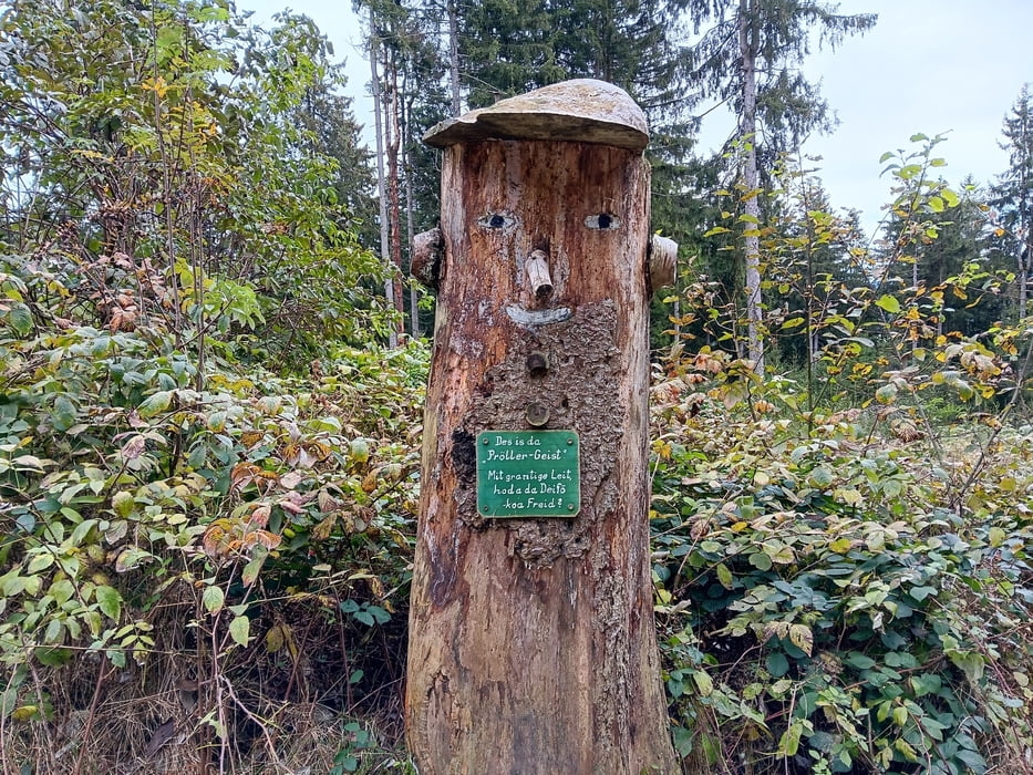
Kurze Runde zum Pröller.

Info: Leichte Wandertour.

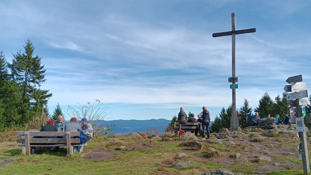
Route: Parkplatz – Schwedenkreuz – Saustein – Räuber-Heigl-Höhle – Pröller – Parkplatz

Start / Ziel: Wanderparkplatz Pröller

POI:

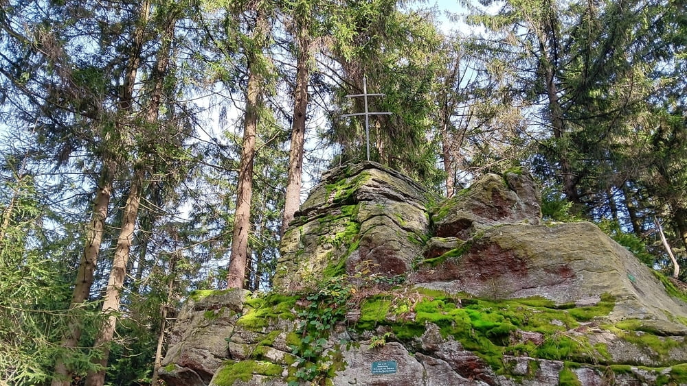
1) Schwedenkreuz

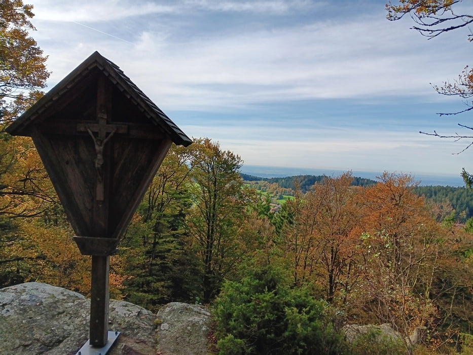
2) Ein herrlicher Blick bietet sich vom Saustein (939 m), ein mächtiger Felsen mit Gipfelkreuz und Ruhebank, über Sankt Englmar und die Donauebene. (Quelle: www.sehenswerter-bayerischer-wald.de)

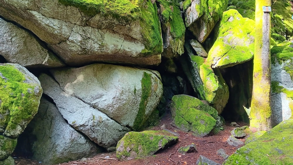
3) Räuber-Heigl-Höhle (Michael Heigl alias Räuber Heigl: der Robin Hood des Bayerwaldes)

4) Pröller (1049 m)


Bitte beachten:

Meine Touren sind zum Benutzen für GPS-Geräte gedacht. Die Wegbeschreibung (Route) stellt nur einen groben Überblick über die Tour zum Zeitpunkt der Tourerstellung dar. Ohne GPS-Gerät ist der Streckenverlauf oftmals schwierig zu finden. Wegegebote und behördliche Einschränkungen sind eigenverantwortlich zu beachten.

Galería de rutas

Mapa de la ruta y perfil de altitud

  • Open Street Map
  • Google
Minimum height 901 m Maximum height 1048 m Vista detallada

More about the tour author

ejee
Miembro desde 2019

Enviar mensaje privado

Comentarios

Tracks GPS

Puntos del track
  • GPX / Garmin Map Source (gpx) download
  • TCX / Garmin Training Center® (tcx) download
  • CRS / Garmin Training Center® (crs) download
  • Google Earth (kml) download
  • G7ToWin (g7t) download
  • TTQV (trk) download
  • Overlay (ovl) download
  • Fugawi (txt) download
  • Kompass (DAV) Track (tk) download
  • Hoja de ruta (pdf) download
  • Original file of the author (gpx) download

More about the tour author

ejee
Miembro desde 2019

Enviar mensaje privado
Share track
Añadir a mis favoritos
Eliminar de mis favoritos
Edit tags
Mi valoración
Rate
Ruta: Pröller-Runde von St. Englmar
Tipo: Excursionismo
Distancia: 5,2 km
valorizado al:
Duración:
Day(s)
Hour(s)
Minute(s)
Valoración: Paisaje Diversión Condición Técnica