


Rundwanderung im Grenzgebiet Comersee Bellinzona um die Bergkette Joviopass - Sommafiume.
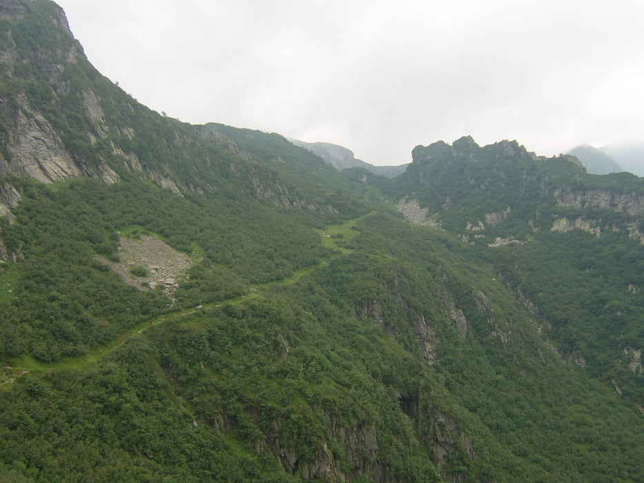
Start am Refugio Jovio, dann auf alter Militärstrasse Richtung Sommafiume und hoch zum Bocetta di Sommafiume. Hier dann ca. 50hm absteigen und wieder 50hm hoch über einen 2ten Paß. Dann weiter hinunter zur Alpe Guimello (bewirtet) und hoch zum Passo Jorio (bewirtet). Von hier entweder auf dem Kamm oder auf dem Güterweg zurück zum Refugio Jovio.
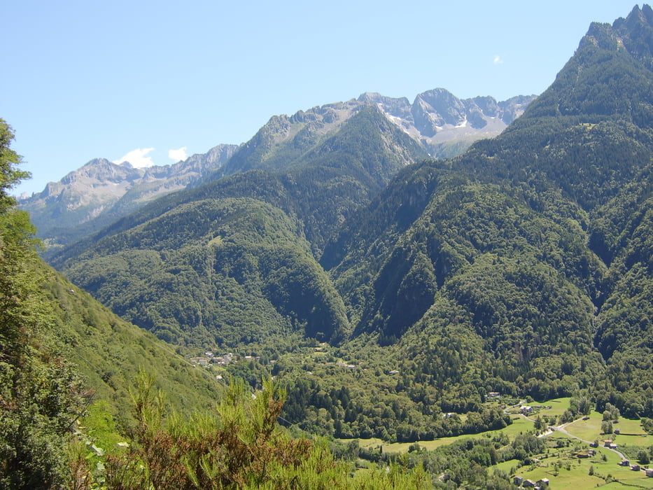
Die Hochalmen auf der italischen Seite weitgehend ohne Landwirtschaft, die schweizer Seite ist mit 2großen Almen bewirtschaftet, Richtung Joviopass hat es um die Guimelloalm schöne Wälder. Beide Seiten sind landschaftlich recht schön.
Die Tour hab ich einige Wochen bei einer Biketour (Dongo Bellinzona) als Rundweg ausgemacht. Bei MTB - Bikern ist der Weg Joriopass - Alpe Guimello ein beliebter Übergang. Die Staße Alpe Guimello ist geteert, so daß die Wanderung auch mit Anfahrt von von Bellinzona zur Alpe Guimello möglich ist.
Más información en
http://www.casarina.comGalería de rutas

Mapa de la ruta y perfil de altitud
Minimum height 207 m
Maximum height 1308 m
More about the tour author
|
|
skyhopper |
Comentarios

Anfahrt Dongo Garzeno (Kiesweg ab 1200m - etwas Bodenfreiheit erf.) zum Refugio Jovio oder von Bellinzona zur Alp Guimello (Teerstraße Bellinzona-Giubiasco-Carena).
Die Anfahrt ab Dongo ist eingetragen
Bis zum Refugio Montefaido sollte man mit jedem Auto kommen. Wenn man ab hier läuft kommen noch gut 2Std. hinzu. Bis Guimello kommt man von der Schweizer Seite problemlos (geteert).
Tracks GPS
Puntos del track-
GPX / Garmin Map Source (gpx) download
-
TCX / Garmin Training Center® (tcx) download
-
CRS / Garmin Training Center® (crs) download
-
Google Earth (kml) download
-
G7ToWin (g7t) download
-
TTQV (trk) download
-
Overlay (ovl) download
-
Fugawi (txt) download
-
Kompass (DAV) Track (tk) download
-
Hoja de ruta (pdf) download
-
Original file of the author (gpx) download
More about the tour author
|
|
skyhopper |
Añadir a mis favoritos
Eliminar de mis favoritos
Edit tags
Open track
Mi valoración
Rate