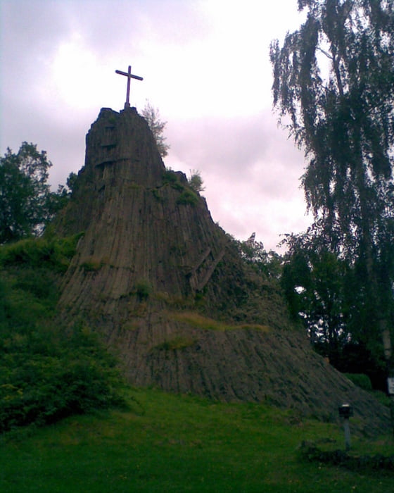
Kleine MTB-Tour zum Druidenstein, ein Basaltkegel Nähe Betzdorf
Die Tour ist bis auf eine kleine Ausnahme leicht und von jedermann zu bewältigen.
Wege sind relativ fest und gut befahrbar. Ein kleines Teilstück ist ein vom Regen stark
ausgewaschener Pfad, eventuell muß dort geschoben werden.
Mapa de la ruta y perfil de altitud
Minimum height 397 m
Maximum height 512 m
Comentarios
Einstiegspunkte:
Autohof bei A45 Abfahrt Wilnsdorf
Gaststätte Schränke zwischen Siegen-Eiserfeld und Neunkirchen-Salchendorf
Tracks GPS
Puntos del track-
GPX / Garmin Map Source (gpx) download
-
TCX / Garmin Training Center® (tcx) download
-
CRS / Garmin Training Center® (crs) download
-
Google Earth (kml) download
-
G7ToWin (g7t) download
-
TTQV (trk) download
-
Overlay (ovl) download
-
Fugawi (txt) download
-
Kompass (DAV) Track (tk) download
-
Hoja de ruta (pdf) download
-
Original file of the author (gpx) download
Añadir a mis favoritos
Eliminar de mis favoritos
Edit tags
Open track
Mi valoración
Rate


Druidenstein