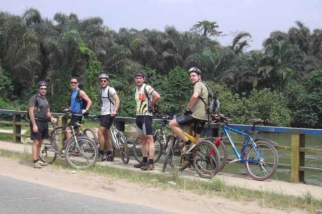
This time we started at 12:00 noon which was better as it still gives you an afternoon later on. Only problem is that it is darn hot then. South of Aba Road was the area this time and we pretty much kept in the proximity of the train tracks this time. We ended up in the town of Obyibo (or something like that) where we had a stop at Imo River. Then back along flow lines. The last kilometers were for me more like a torture but we all managed to get back to have beers (for the fit guys) or coke (for the weak ones like me who needed sugar) to get their strength back.
Galería de rutas
Mapa de la ruta y perfil de altitud
Minimum height 9 m
Maximum height 36 m
Comentarios

What shall I write here? Take a 6 hour flight from Paris (AF) or Frankfurt (LH) to Port Harcourt and then tell a "taxi driver" to bring you to the Intels camp on Aba Road Km16. We usually start at 14:30 but it might change.
Tracks GPS
Puntos del track-
GPX / Garmin Map Source (gpx) download
-
TCX / Garmin Training Center® (tcx) download
-
CRS / Garmin Training Center® (crs) download
-
Google Earth (kml) download
-
G7ToWin (g7t) download
-
TTQV (trk) download
-
Overlay (ovl) download
-
Fugawi (txt) download
-
Kompass (DAV) Track (tk) download
-
Hoja de ruta (pdf) download
-
Original file of the author (gpx) download
Añadir a mis favoritos
Eliminar de mis favoritos
Edit tags
Open track
Mi valoración
Rate


