
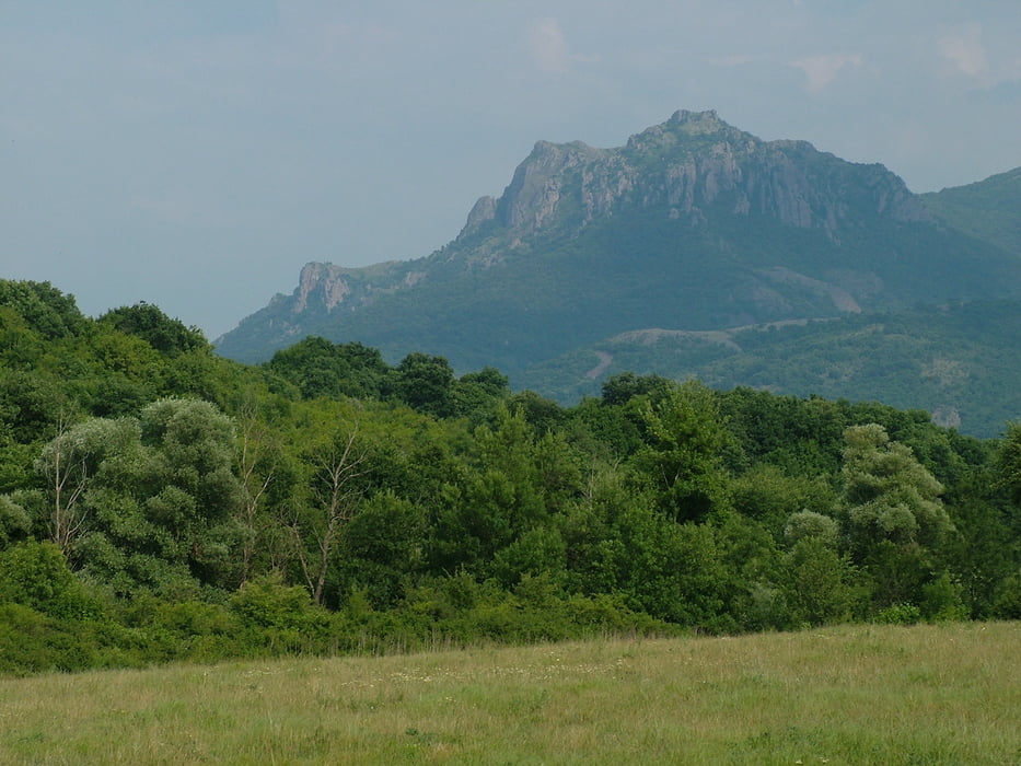

Half day journey in the vicinity of Madjarovo in the Eastern Rhodopes. The starts and ends in Madjarovo as it makes a loop around the gorge of Arda river. The beginning is a 9 kilometer climb which takes you to the village of Dolni Glavanak. Not far away from the village is located the so called Kromleh - megalith structure dating from the Thracian period. After the Kromleh the route goes down to the river bed and passes trough the village of Dolno Cherkovishte. In the vicinity of the village there are a few rock tomb.
At the iron bridge across Arda you will make an U-turn and go back to Madjarovo following the road on the south bank of the river.
Más información en
http://www.rudopia.orgGalería de rutas


Mapa de la ruta y perfil de altitud
Minimum height 131 m
Maximum height 1457 m
More about the tour author
|
|
Pirateria |
Comentarios

Tracks GPS
Puntos del track-
GPX / Garmin Map Source (gpx) download
-
TCX / Garmin Training Center® (tcx) download
-
CRS / Garmin Training Center® (crs) download
-
Google Earth (kml) download
-
G7ToWin (g7t) download
-
TTQV (trk) download
-
Overlay (ovl) download
-
Fugawi (txt) download
-
Kompass (DAV) Track (tk) download
-
Hoja de ruta (pdf) download
-
Original file of the author (gpx) download
More about the tour author
|
|
Pirateria |
Añadir a mis favoritos
Eliminar de mis favoritos
Edit tags
Open track
Mi valoración
Rate