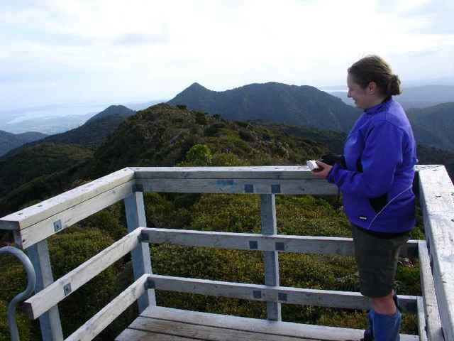
For this trip we went up Mt Pirongia via the Tirohanga Track, stayed the night at the Pahautea Hut and the top and then returned via the Kaniwhaniwa Track.
Galería de rutas
Mapa de la ruta y perfil de altitud
Minimum height 73 m
Maximum height 967 m
Comentarios

Grey Rd
Tracks GPS
Puntos del track-
GPX / Garmin Map Source (gpx) download
-
TCX / Garmin Training Center® (tcx) download
-
CRS / Garmin Training Center® (crs) download
-
Google Earth (kml) download
-
G7ToWin (g7t) download
-
TTQV (trk) download
-
Overlay (ovl) download
-
Fugawi (txt) download
-
Kompass (DAV) Track (tk) download
-
Hoja de ruta (pdf) download
-
Original file of the author (gpx) download
Añadir a mis favoritos
Eliminar de mis favoritos
Edit tags
Open track
Mi valoración
Rate


