
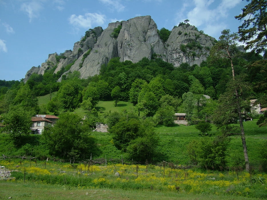

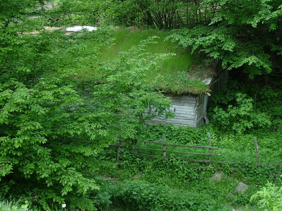
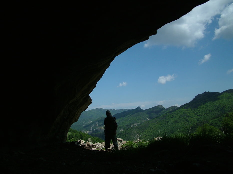
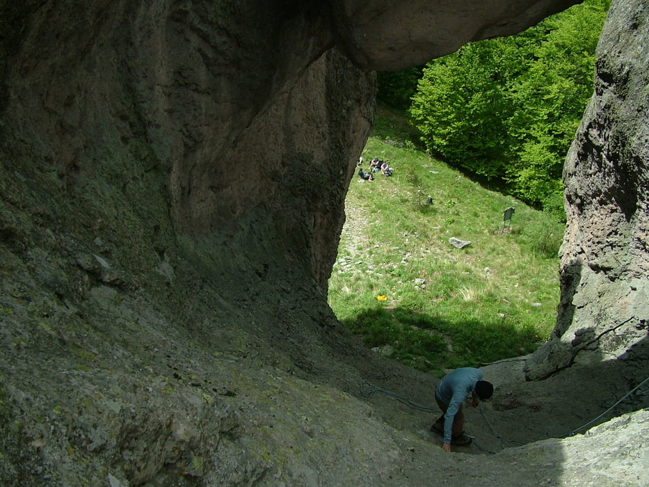
Hiking tour in the vicinity of the rock sanctuary "Belintash" in the Rhodope Mts. The tour starts from Chotrova Mahala and leads to the monument rock Karadjov Kamak as it passes trough the valley of Mostovska Sushitsa river, mahala Riakata and a few small caves known as Pepelivoto. It takes about 4 hours to reach from Chotrova Mahala to Karadjov kamak. It is possible to climb the top of the rock but the way down is a bit tricky so you must make your mind before taking the decision to climb the rock. The hiking ends at Mostovo village from where you may either go back to Chotrova by car or walk to one of the accommodations loated in mahala Kabata.
The second part of the track contains information about how to visit the sanctuary Belintash starting from Chotrova and return to the same place (3 hrs).
Galería de rutas

Mapa de la ruta y perfil de altitud
Minimum height 836 m
Maximum height 1479 m
More about the tour author
|
|
Pirateria |
Comentarios

Tracks GPS
Puntos del track-
GPX / Garmin Map Source (gpx) download
-
TCX / Garmin Training Center® (tcx) download
-
CRS / Garmin Training Center® (crs) download
-
Google Earth (kml) download
-
G7ToWin (g7t) download
-
TTQV (trk) download
-
Overlay (ovl) download
-
Fugawi (txt) download
-
Kompass (DAV) Track (tk) download
-
Hoja de ruta (pdf) download
-
Original file of the author (gpx) download
More about the tour author
|
|
Pirateria |
Añadir a mis favoritos
Eliminar de mis favoritos
Edit tags
Open track
Mi valoración
Rate