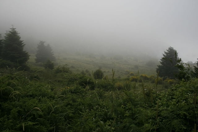
A circular trail starting and ending in Ipati - close to Lamia (Greece). The ascent follows a trekking path which continues to higher elevation but about 1 h from Ipati the trail splits from the trekking path and returns via a nice lonely tractor path winding its way back down to Ipati.
Mapa de la ruta y perfil de altitud
Minimum height 363 m
Maximum height 941 m
Comentarios
The trail starts on the main square in Ipati.
Tracks GPS
Puntos del track-
GPX / Garmin Map Source (gpx) download
-
TCX / Garmin Training Center® (tcx) download
-
CRS / Garmin Training Center® (crs) download
-
Google Earth (kml) download
-
G7ToWin (g7t) download
-
TTQV (trk) download
-
Overlay (ovl) download
-
Fugawi (txt) download
-
Kompass (DAV) Track (tk) download
-
Hoja de ruta (pdf) download
-
Original file of the author (gpx) download
Añadir a mis favoritos
Eliminar de mis favoritos
Edit tags
Open track
Mi valoración
Rate


Kastro tis Ypatis
There are lots of very nice trails in Mt. Oeta.