Login

¿Ha olvidado su contraseña?

Las cookies tienen que estar habilitadas!
Las cookies no están habilitadas en tu navegador. Por favor, modifica la configuración antes de continuar.

Not a member yet?

Register now
Login

Available for registred users only

Log in to use this feature.

¿Ha olvidado su contraseña?

Las cookies tienen que estar habilitadas!
Las cookies no están habilitadas en tu navegador. Por favor, modifica la configuración antes de continuar.

Not a member yet?

Register now
Filtro
Categorías
Filtros avanzados
  • Distancia (km)
  • Altitud en metros
Guardar filtro Restablecer filtro

TrackRank

QRCode

Technical data

Distancia33,5 km Altitud en metros1065 m Descenso1059 m Duración04:00 h:m Fecha14.06.2009
Valoraciones Autor Paisaje Diversión Condición Técnica

Estadística

637 Visitas Valoraciones 131 Descargas Promedio
Rate
  • Hoja de ruta
  • Punto de partida
  • Descargas

Besonderheit: Zwei Hügel und ein Steak

Tourbeginn und -ende: Shell-Tanke, Rohrbacher Str.  und Cafe Bar P11, Bahnhofstraße 63

Tourbeschreibung: alte Weisheit: Folge einfach dem Track! Einkehrmöglichkeiten am Königsstuhl sowie später auf Weissem Stein.

Viel Spaß beim Steak!

Galería de rutas

Mapa de la ruta y perfil de altitud

  • Open Street Map
  • Google
Minimum height 112 m Maximum height 567 m Vista detallada

More about the tour author

Bjoern
Miembro desde 2008

Enviar mensaje privado

Comentarios

Autobahn A5, Abfahrt Heidelberg/Schwetzingen auf die L600a (Speyerer Straße) Richtung Heidelberg, immer der Straße folgen. In Heidelberg angekommen über die Bahnschienen rüber (große Brücke), nach Brücke rechts in die Lessingstraße. Bei großer Kreuzung halb links in die Franz-Knauff-Straße. Der Straße folgen, nächste Kreuzung Rohrbacher Straße. Shelltankstelle (= Start) ist leicht zu sehen.

Tracks GPS

Puntos del track
  • GPX / Garmin Map Source (gpx) download
  • TCX / Garmin Training Center® (tcx) download
  • CRS / Garmin Training Center® (crs) download
  • Google Earth (kml) download
  • G7ToWin (g7t) download
  • TTQV (trk) download
  • Overlay (ovl) download
  • Fugawi (txt) download
  • Kompass (DAV) Track (tk) download
  • Hoja de ruta (pdf) download
  • Original file of the author (gpx) download

More about the tour author

Bjoern
Miembro desde 2008

Enviar mensaje privado
Share track
Añadir a mis favoritos
Eliminar de mis favoritos
Edit tags
Mi valoración
Rate
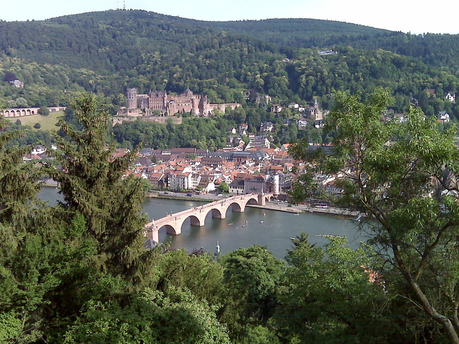
Ruta: Heidelberg: Zwei Hügel und ein Steak
Tipo: Bicicletas de montaña
Distancia: 33,5 km
valorizado al:
Duración:
Day(s)
Hour(s)
Minute(s)
Valoración: Paisaje Diversión Condición Técnica