Dies ist die zweite Hometrailstour um Eckersdorf
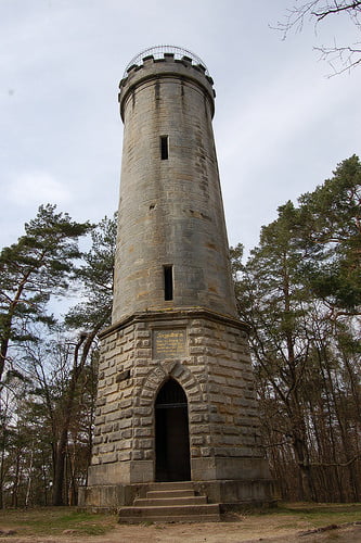
Die Tour startet am Rand von Eckersdorf und führt über die Waldhütte und den Siegesturm Bayreuth bis in die Innenstadt.
Konditionell und fahrtechnisch ist die Tour leicht anspruchsvoll aber für jeden fahrbar.
Mapa de la ruta y perfil de altitud
Minimum height 316 m
Maximum height 540 m
Comentarios

Startpunkt ist an am Radweg ("Casanovas Ausritt") oberhalb von Eckersdorf.
Mit dem Auto zu erreichen auf der Verbindungsstraße von Eckersdorf nach Heinersreuth. Hier sind auch Parkplätzchen vorhanden.
Tracks GPS
Puntos del track-
GPX / Garmin Map Source (gpx) download
-
TCX / Garmin Training Center® (tcx) download
-
CRS / Garmin Training Center® (crs) download
-
Google Earth (kml) download
-
G7ToWin (g7t) download
-
TTQV (trk) download
-
Overlay (ovl) download
-
Fugawi (txt) download
-
Kompass (DAV) Track (tk) download
-
Hoja de ruta (pdf) download
-
Original file of the author (gpx) download
Añadir a mis favoritos
Eliminar de mis favoritos
Edit tags
Open track
Mi valoración
Rate

