


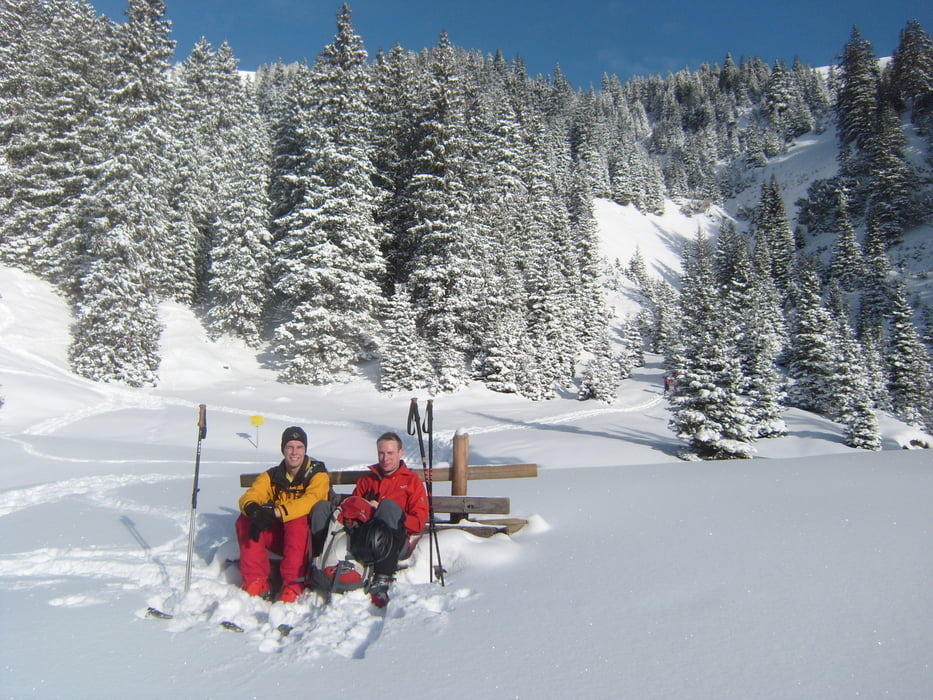
Vom Parkplatz am Bahnhof über die Gleise und nach rechts den Hang hinaufqueren. Weiter Richtung Nordosten durch lichte Bäume und vereinzelte Heustadel. Bei einem offenen Absatz auf ca. 1580 m an einer Aussichtsbank vorbei nach rechts Richtung Daniel. Hier steigt man nach Durchquerung des kleine Böstals auf einen Rücken hinauf dem man bis zur Baumgrenze folgt. Hier kann bei unsicheren Verhältnissen nach Nordwesten hinauf zum kleinen Pfuitjöchl oder nach rechts auf den Rücken zum Pfuitjoch. Vom Skidepot sind es noch etwa 100 Höhenmeter zum Gipfel. Die Abfahrt führt entlang der Aufstiegsroute und ist schön gleichmäßig geneigt und bei schönem Schnee einfach nur zum geniessen.
Más información en
http://www.tourentipp.de/de/touren/details.php?id=484Galería de rutas
Mapa de la ruta y perfil de altitud
Minimum height 1109 m
Maximum height 2113 m
More about the tour author

|
florianlederer |
Comentarios

Von Garmisch nach Ehrwald, hier die Abzweigung Richtung Reutte und in Lähn zum Bahnhof.
Tracks GPS
Puntos del track-
GPX / Garmin Map Source (gpx) download
-
TCX / Garmin Training Center® (tcx) download
-
CRS / Garmin Training Center® (crs) download
-
Google Earth (kml) download
-
G7ToWin (g7t) download
-
TTQV (trk) download
-
Overlay (ovl) download
-
Fugawi (txt) download
-
Kompass (DAV) Track (tk) download
-
Hoja de ruta (pdf) download
-
Original file of the author (gpx) download
More about the tour author
|
|
florianlederer |
Añadir a mis favoritos
Eliminar de mis favoritos
Edit tags
Open track
Mi valoración
Rate