


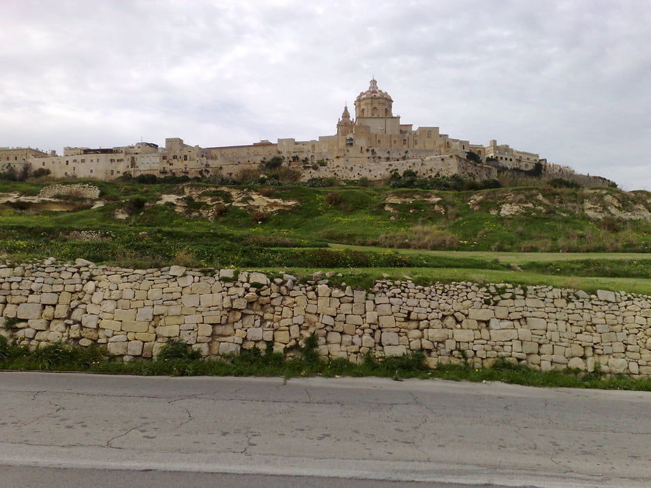
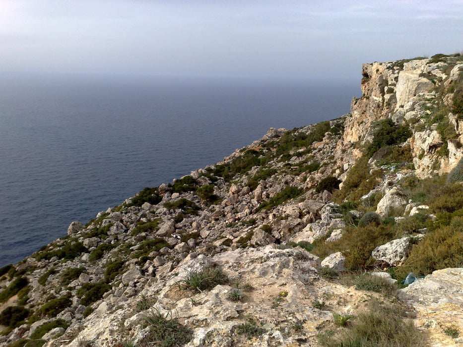
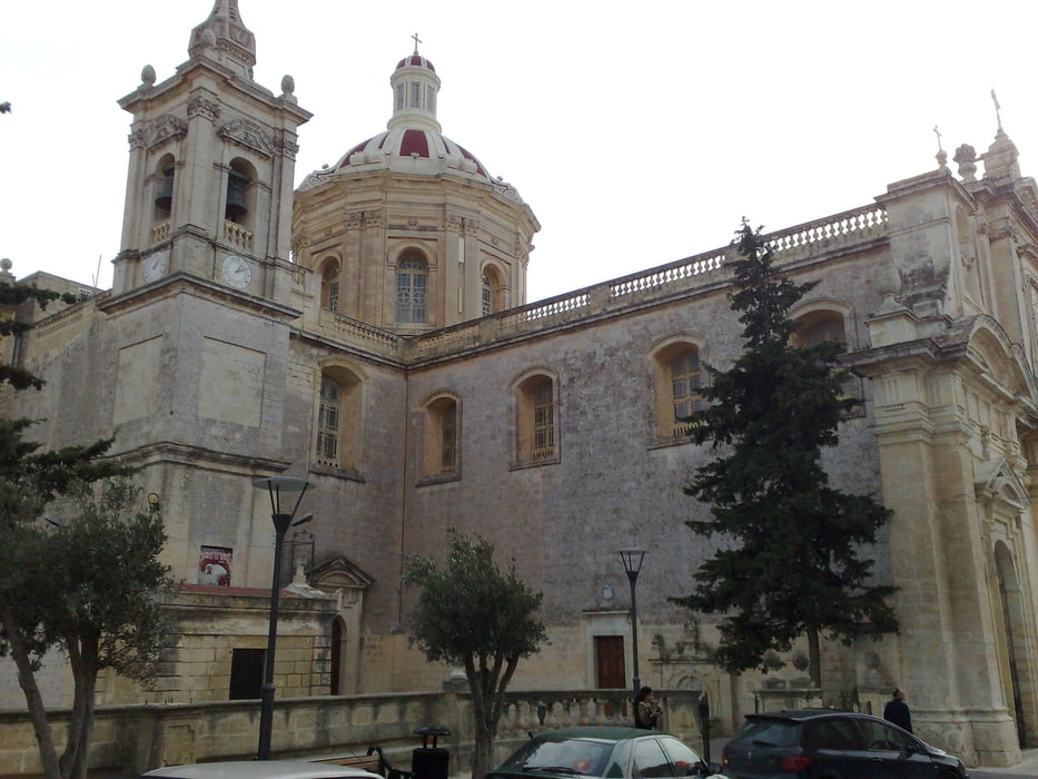
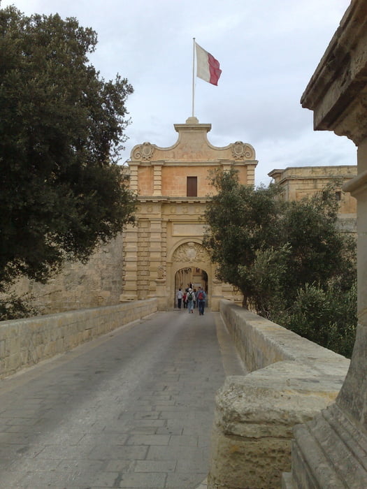
Since Malta is a very small island, it is easy to drive from the north to the south shore for visiting the Dingli cliffs. In some sections the walls are 200 m deep and go vertically to the sea. But this is not the only atraction for this tour, since you can see old buildings (catacombs and inquisitor's palace), architechtonicly imposing churches (Dingli, Mosta, Rabat) till you come to the fortified city of Mdina.
Unfortately in some sections you must drive along the country road, so be careful, and in some other sections the roads are in bad conditions, so be careful. Not to forget that maltese people drive on the "wrong" side (left).
Galería de rutas
Mapa de la ruta y perfil de altitud
Minimum height 40 m
Maximum height 285 m
More about the tour author

|
alonso100 |
Comentarios

Your hotel is somewhere in the north shore (around St Paul's bay).
Tracks GPS
Puntos del track-
GPX / Garmin Map Source (gpx) download
-
TCX / Garmin Training Center® (tcx) download
-
CRS / Garmin Training Center® (crs) download
-
Google Earth (kml) download
-
G7ToWin (g7t) download
-
TTQV (trk) download
-
Overlay (ovl) download
-
Fugawi (txt) download
-
Kompass (DAV) Track (tk) download
-
Hoja de ruta (pdf) download
-
Original file of the author (gpx) download
More about the tour author
|
|
alonso100 |
Añadir a mis favoritos
Eliminar de mis favoritos
Edit tags
Open track
Mi valoración
Rate