


Das ist mal eine nette Runde geworden.
Ganz tief im Osten Deutschlands gibt es ein Gebirge das keinen Vergleich scheuen braucht.
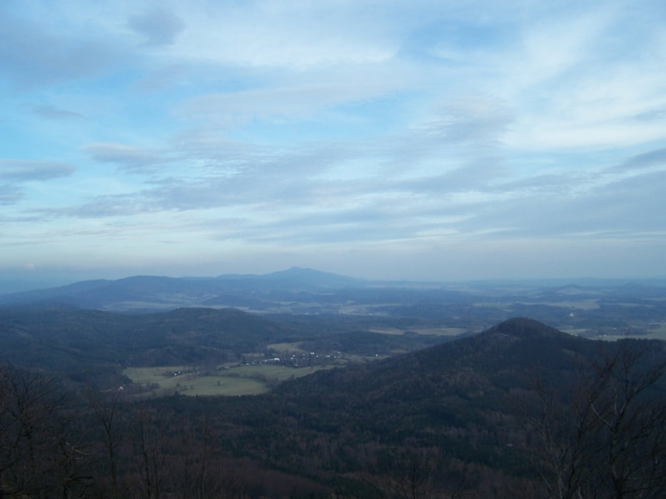
Schöne Waldwege und noch schönere Wanderwege in einer Umgebung die umwerfend ist.
In der Ortsmitte von Oybin gehts los. Zuerst in der Talaue langsam nach oben. Auf dem Sattel bei Hain, direkt auf der Grenze nach links in Richtung Hochwald. Die Gaststätte Hochwaldbaude liegt einzigartig.
Leider war der Aussichtsturm geschlossen. Deshalb schnell wieder runter und auf den Grat. Die große Felsengasse ist aber sicher lohnender als der Gang durch die Wildnis des Rückens.
Der Abschluß auf dem Scharfenstein ist TOLL.
Más información en
http://www.oybin.com/html/wandern.htmlGalería de rutas


Mapa de la ruta y perfil de altitud
Minimum height 387 m
Maximum height 741 m
More about the tour author
|
|
Pheinz |
Comentarios

Mitten im Ort Oybin gibt es kostenpflichtige Parkplätze die aber immer noch günstiger sind als im Harz oder an der Ostseeküste.
Tracks GPS
Puntos del track-
GPX / Garmin Map Source (gpx) download
-
TCX / Garmin Training Center® (tcx) download
-
CRS / Garmin Training Center® (crs) download
-
Google Earth (kml) download
-
G7ToWin (g7t) download
-
TTQV (trk) download
-
Overlay (ovl) download
-
Fugawi (txt) download
-
Kompass (DAV) Track (tk) download
-
Hoja de ruta (pdf) download
-
Original file of the author (gpx) download
More about the tour author
|
|
Pheinz |
Añadir a mis favoritos
Eliminar de mis favoritos
Edit tags
Open track
Mi valoración
Rate